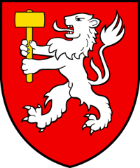
Martigny-Combe
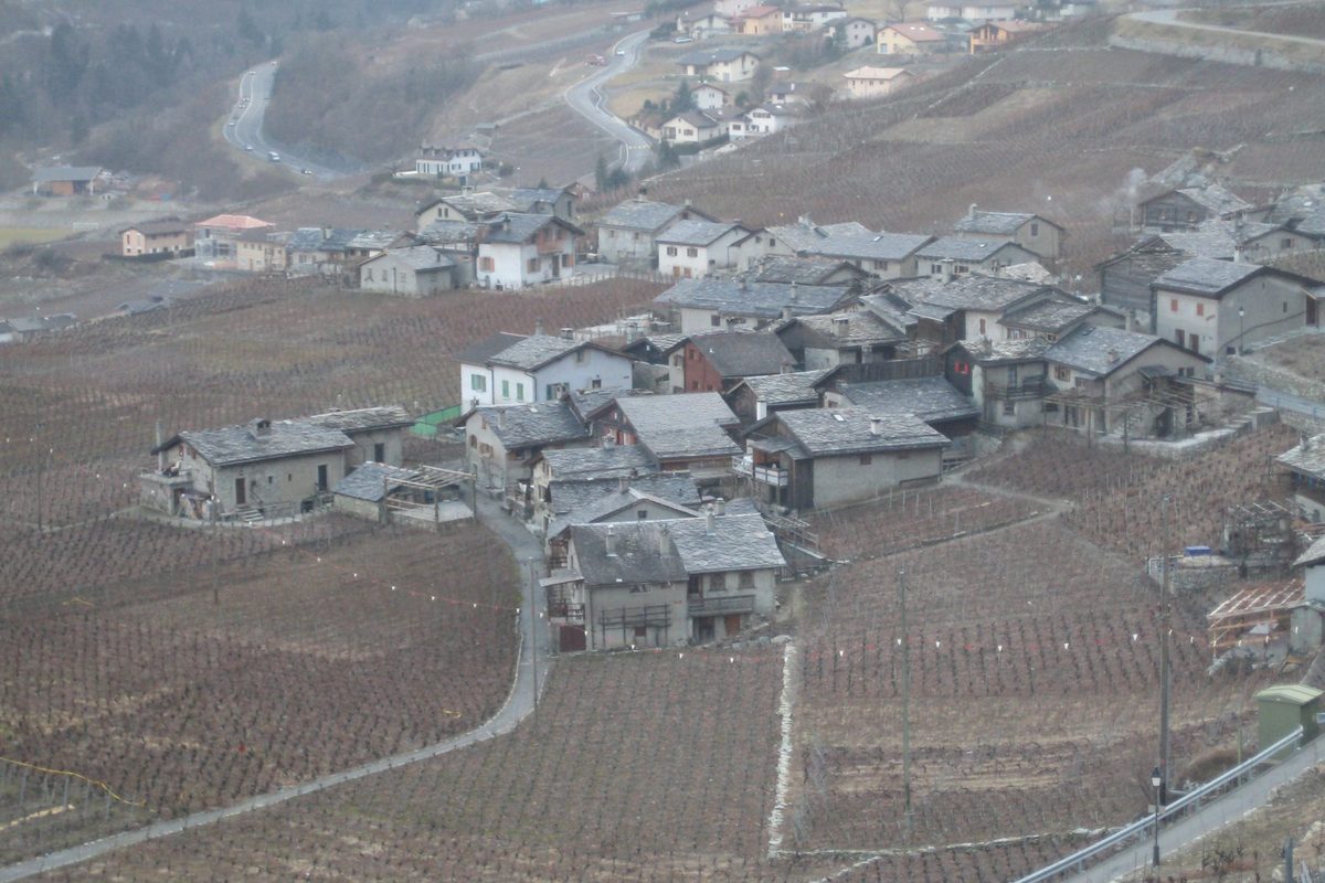
Origin of the name Martigny-Combe
The municipality appears under the names « La Combe » (1841) and « Martigny-Combe » (1844). The old German name is « Martinach-Combe ». « Combe » is said to come from Celtic cumba, a small, narrow and short valley.[1]
Founding of Martigny-Combe
Martigny-Combe stretches between the Trient to the west and the Dranse to the east, from the Rhône plain to over 2'700 m, where the Great St Bernard road to Italy meets the Col de la Forclaz road to France. The municipality was born of a separation. Its territory long belonged to the castellany of Martigny, whose centre was Les Rappes. In the 17th and 18th centuries this quarter of the large municipality of Martigny was divided into two half-quarters, Combe inférieure and Combe supérieure. La Combe then split from Martigny, and later lost La Bâtiaz and Trient. Its chief place is La Croix (Martigny-Croix). The municipality also includes Le Brocard, Le Borgeaud, Les Rappes, Le Fays, Ravoire and La Fontaine. In church matters it depends on the parish of Martigny, served by the canons of the Great St Bernard. It lived from very old vine-growing, forestry, farming and fruit-growing, as well as from hotels at Martigny-Croix and on the Col de la Forclaz.[1]
History of Martigny-Combe
1st century. Small Roman cemetery with cremation graves, probably from the mid-1st century, discovered in 1891 at Les Bans.
after 999. The territory belongs to the castellany of Martigny, whose centre was Les Rappes.[1]
17th-18th centuries. The Combe quarter is divided into two half-quarters, Combe inférieure and Combe supérieure.[1]
1833. Residents take part in the bastonnade (beating) of Martigny against supporters of a new constitution.[1]
1841. La Combe separates from Martigny and becomes a municipality.[1]
1845. La Bâtiaz breaks away from the municipality.[1]
19th century. A water-blown (trompe) forge operates at Le Borgeaud.[1]
1899. Trient separates from Martigny-Combe.[1][2]
around 1900. The Le Fays plaster works employs at most forty workers, quarrymen included.[1]
1926. The chapel of Ravoire is built.[1]
1955. The chapel of La Fontaine is built.[1]
1957. The new Col de la Forclaz road between Martigny and Chamonix opens.[2]
1964. A 300 m viaduct bypasses Le Brocard (date uncertain).
1970. The church of Saint-Joseph at La Croix is dedicated.[1]
1980. A school centre opens at La Croix.[1]
Population of Martigny-Combe
Sources and references: [1][4]
| 1850 | 1'332 (with Trient) |
| 1900 | 1'167 |
| 1950 | 1'051 |
| 2000 | 1'731 |
| 2025 | 2'415 |
Historic sites in Martigny-Combe
Chapel of Saint-Jean. The only medieval chapel in the municipality, the others being recent. Cultural property of regional importance (federal PCP inventory, category B). It is reportedly dedicated to St John the Baptist.[1][3]
Church of Saint-Joseph (Martigny-Croix). Church of the chief place, dedicated in 1970. It is reportedly the work of the architect Marius Zryd, with stained glass by Paul Monnier.
Ravoire. Hillside village with a chapel built in 1926 and a school. It reportedly keeps seven bread ovens, some still in use.
Plan-Cerisier, Le Perrey and La Crettaz. These hamlets were once mazots (small vineyard buildings) used by people from Vallorcine and Salvan during work in the vines.[1]
Remains in Martigny-Combe
Roman graves of Les Bans. Six cremation graves from a small Roman cemetery, probably from the mid-1st century, were discovered in 1891 at Les Bans, where the Forclaz road begins.
Former episcopal castle. A castle of the bishops of Sion stood on the Saint-Jean hill above Le Brocard. It was reportedly abandoned, probably in the 13th century, in favour of La Bâtiaz.
Sources
- Dictionnaire historique de la Suisse, « Martigny-Combe » (Albano Hugon, version du 15.12.2009)
- Dictionnaire historique de la Suisse, « Trient » (David Rey, version du 15.03.2012) (route de la Forclaz)
- Office fédéral de la protection de la population (OFPP), Inventaire PBC, liste cantonale du Valais (objets A et B, état au 1.1.2026)
- Office fédéral de la statistique (OFS), STATPOP, chiffres provisoires au 31.12.2025, via citypopulation.de
- geo.admin.ch, recherche de lieux (coordonnées de Martigny-Croix)
Localities of the municipality with a page
Other villages near Martigny-Combe
Missing information, or do you have a source? Suggest a correction or addition. Every submission is checked before it's published.
Suggest a change