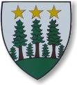
Oberwald
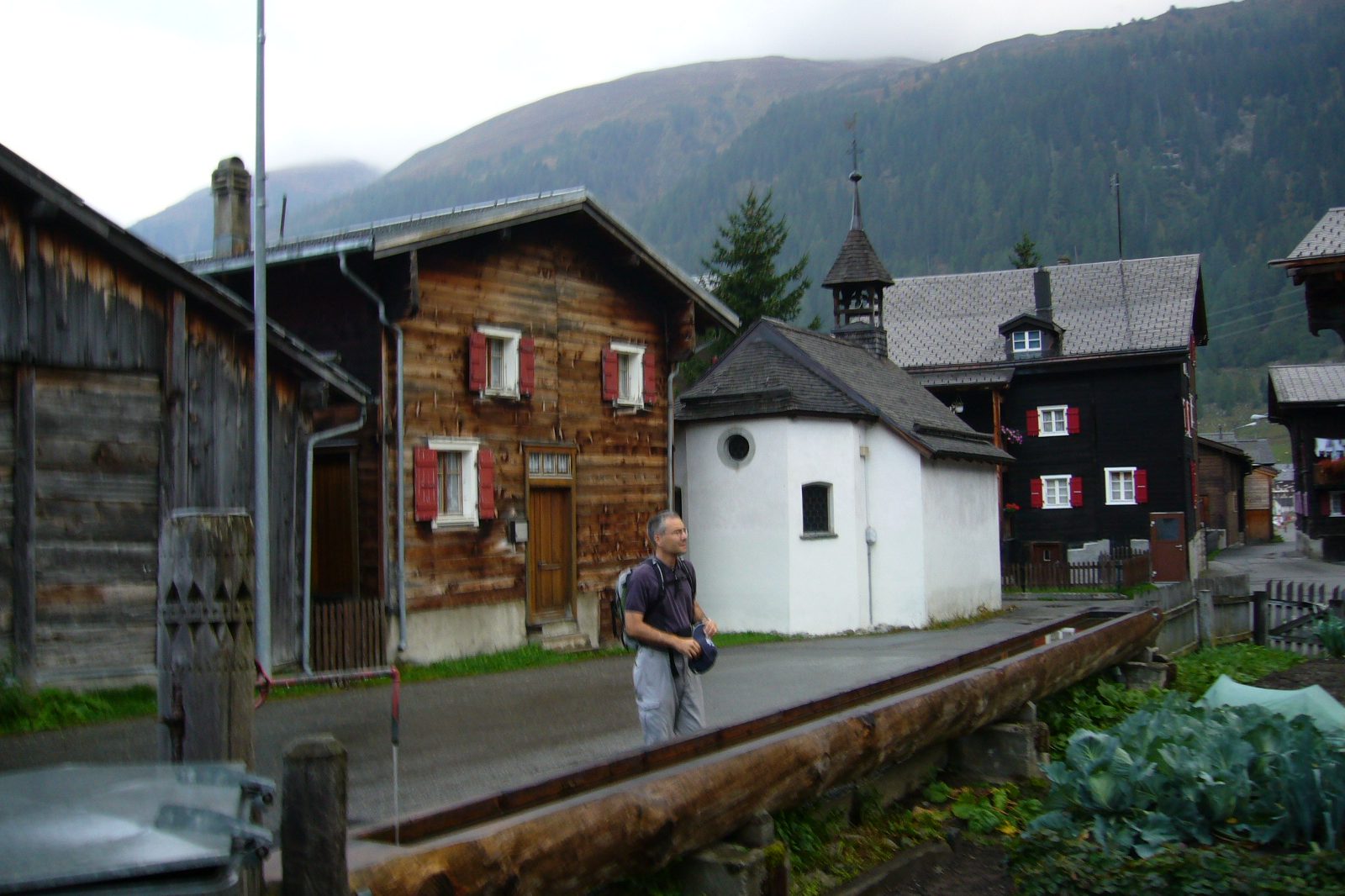
Origin of the name Oberwald
First mentioned in 1386 as « Superiore Valde » and in 1419 as « Oberwaldt ». The name means the upper part (« ober ») of the forest (« Wald »). It is said to contrast with Niederwald, further down the valley.[1]
Founding of Oberwald
Oberwald lies at 1'370 m on the right bank of the Rhône, at the head of the Goms valley. From 1838 the municipality also included Unterwassern, on the flat valley floor of the left bank, as well as the Gerental with the now abandoned hamlets of Untergeren, Obergeren and Bergdorf, the hotels of Gletsch and the Belvédère on the Furka road, and the Rhône Glacier. The first inhabitants, Ligurians and Celts, were Romanised and then Germanised in the 8th and 9th centuries by Alemanni who came over the Grimsel. Under the Ancien Régime Oberwald was the highest of the nine quarters of the Goms dizain. The first statutes (1515), shared by Oberwald, Unterwassern and Obergesteln, governed the use of alpine pastures, common land and forests. The statutes of the Oberwald burgher community date from 1636. Transport links later opened the village to tourism: at the beginning of the 21st century it offered about 2'500 beds, and in 2005 the service sector provided almost 73 % of jobs in this former mountain farming village. Since 1 January 2009 Oberwald has formed, with Obergesteln and Ulrichen, the municipality of Obergoms.[1]
History of Oberwald
8th-9th centuries. Alemanni who came over the Grimsel Germanise a Romanised population of Ligurian and Celtic origin.[1]
1386. First mention as « Superiore Valde ».[1]
1419. Mentioned as « Oberwaldt ». In the same year, during the Raron war, Oberwald, Unterwassern and Obergesteln are said to have been burnt down by the Bernese.[1]
1493. Obergesteln, to which Oberwald belongs, separates from the parish of Münster.[1]
1515. First statutes, shared by Oberwald, Unterwassern and Obergesteln, for the use of alpine pastures, common land and forests.[1]
1636. Statutes of the Oberwald burgher community.[1]
1710. The Holy Cross church is built, initially as a chapel, between Oberwald and Unterwassern.[1]
1716. Altars and sculptures of the church, from the workshops of Johann Ritz and Anton Sigristen.[1]
1719. Oberwald becomes a rectorate.[1]
1720. An avalanche damages the tower roof and the sacristy of the church.[3]
1736. Oberwald becomes a parish; blessing of the church and its three altars.[1][3]
1834. During a flood so much debris builds up around the church that one has to step down to its door.[3]
1838. Unterwassern, on the left bank of the Rhône, is united with the municipality of Oberwald.[1]
1860-1861. Construction of the Fiesch-Oberwald road.[1]
1915. Arrival of the Furka-Oberalp railway.[1]
1972. Joint kindergarten and primary school with Obergesteln and Ulrichen.[1]
1982. Opening of the Furka base tunnel: the line runs all year and carries cars between Oberwald and Realp.[1]
2009. On 1 January Oberwald merges with Obergesteln and Ulrichen to form the municipality of Obergoms.[1][2]
Population of Oberwald
Sources and references: [1]
| 1850 | 280 |
| 1900 | 240 |
| 1950 | 321 |
| 2000 | 260 |
Historic sites in Oberwald
Holy Cross church. Built as a chapel in 1710 between Oberwald and Unterwassern, somewhat apart from the houses because it was a pilgrimage church, it became the parish church in 1736. Its altars and sculptures come from the workshops of Johann Ritz and Anton Sigristen (1716). An avalanche wedge is built against the back of the choir.[1][3]
Unterwassern. Village on the flat valley floor of the left bank of the Rhône, united with the municipality of Oberwald in 1838.[1]
Gletsch and the Rhône Glacier. The territory of the former municipality included the hotels of Gletsch and the Belvédère on the Furka road, as well as the Rhône Glacier.[1]
Oberwald station. Portal of the Furka base tunnel, opened in 1982, from where cars are carried by rail to Realp.[1]
Remains in Oberwald
Abandoned hamlets of the Gerental. Untergeren, Obergeren and Bergdorf, in the Gerental, belonged to the municipality and are now abandoned.[1]
Sources
- Dictionnaire historique de la Suisse, « Oberwald » (Robert Walpen, trad. Florence Piguet, version du 05.01.2017 ; résumé lu)
- Office fédéral de la statistique, Répertoire officiel des communes, mutation n° 2756 (01.01.2009)
- Goms Tourismus, « Parish Church of St. Cross » (église d'Oberwald)
- geo.admin.ch, recherche de lieux (coordonnées)
Localities of the municipality with a page
Other villages near Oberwald
Missing information, or do you have a source? Suggest a correction or addition. Every submission is checked before it's published.
Suggest a change