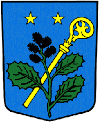
Vernamiège
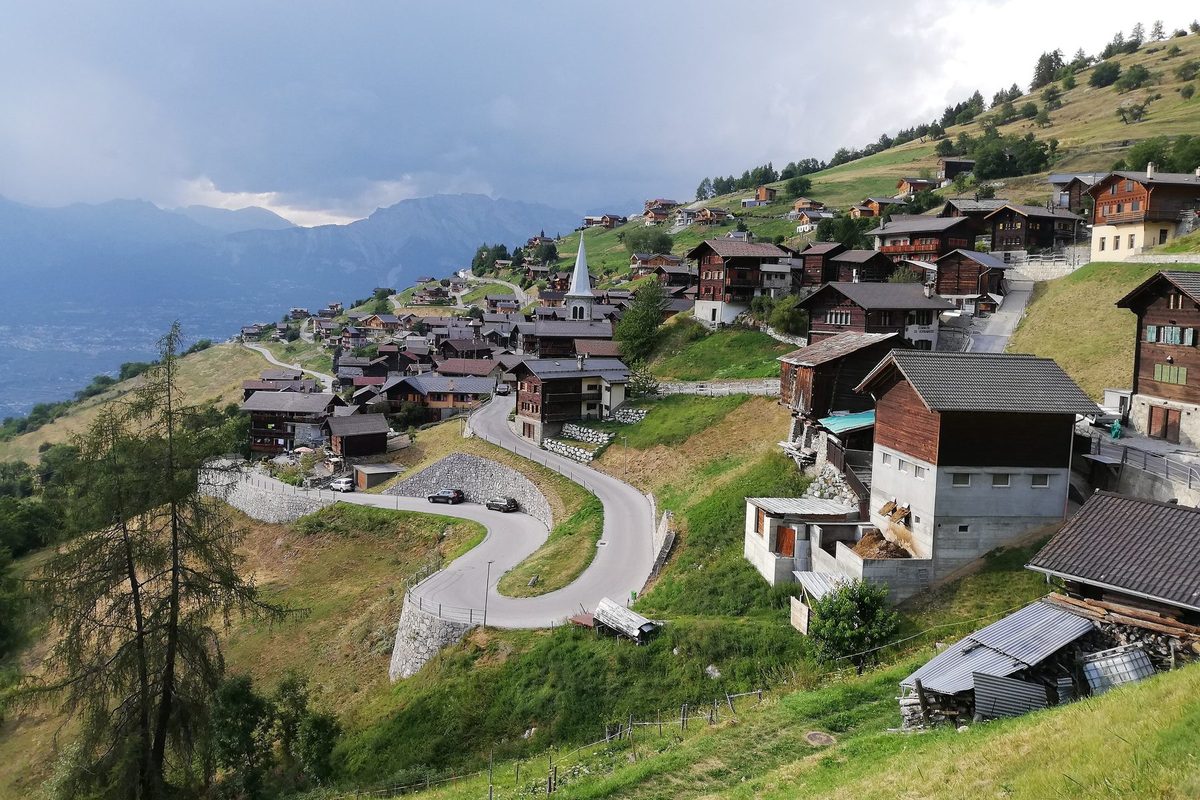
Origin of the name Vernamiège
Mentioned in the late 11th century as « Vernamesia ». The old German name is « Ferneisi ». The etymology remains unexplained.[1]
Founding of Vernamiège
Vernamiège lies in a clearing at 1'300 m above sea level, on the right bank of the Borgne, where remains from the La Tène period are reported. From the early 13th century the village belonged to the bishop of Sion and formed a mayoralty with Nax. It then belonged to the dizain of Sion, later to the districts of Hérémence and Hérens. Endowed with a chapel of Saint-Antoine, it depended on the parish of Nax until its own parish was established. Traditionally devoted to subsistence farming and livestock, the village has looked to ecotourism to counter the population decline that began in the 1960s.[1][2]
History of Vernamiège
La Tène period. Remains on the territory of Vernamiège.[1]
late 11th century. Mentioned as « Vernamesia ».[1]
1203. Date carved on the Faran fountain, which local tradition holds to be that of the first documented mention.
13th century. From the start of the century Vernamiège belongs to the bishop of Sion and forms a mayoralty with Nax.[1]
14th century. Vernamiège is part of the dizain of Sion, until 1798.[1]
1461. Mention of the chapel of Saint-Antoine.[1]
1798-1814. Part of the district of Hérémence, then of the district of Hérens.[1]
1909. When the vault of the church of Nax collapses, nine of the victims are reportedly from Vernamiège.
1913. Construction of the church, reportedly on the site of the former chapel of Saint-Antoine.
1915. The parish of Vernamiège is established, separated from that of Nax.[1]
1955-1964. Under president Anselme Pannatier the municipality reportedly installed sewers, surfaced the roads and built a water catchment.
1960s. Start of the population decline.[1]
2008. On 24 February Vernamiège rejects a first merger plan, by 67 votes to 61 according to figures still to be checked. On 7 September the three municipalities approve the merger.
2011. On 1 January Vernamiège merges with Mase and Nax to form the municipality of Mont-Noble.[1][2]
Population of Vernamiège
Sources and references: [1]
| 1850 | 185 |
| 1900 | 244 |
| 1950 | 330 |
| 2000 | 144 |
Historic sites in Vernamiège
Church of Vernamiège. Built in 1913, it is said to have replaced the chapel of Saint-Antoine, mentioned in 1461. The parish was established in 1915.
Faran fountain. It reportedly bears the years 1203 and 2010.
Ban forest. Its larches are said to be among the oldest in Europe.
Remains in Vernamiège
La Tène remains. Remains from the La Tène period are reported at Vernamiège.[1]
Sources
- Dictionnaire historique de la Suisse, « Vernamiège » (Catherine Raemy-Berthod, version du 23.12.2016)
- Etat du Valais, Service des affaires intérieures et communales (SAIC), « Rapport sur les finances communales 2008 » (février 2010), tableau des fusions de communes en Valais depuis 2000
- geo.admin.ch, recherche de lieux (coordonnées)
Other villages near Vernamiège
Missing information, or do you have a source? Suggest a correction or addition. Every submission is checked before it's published.
Suggest a change