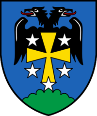
Ausserberg
Origin of the name Ausserberg
The forms « Leucrun » (1378), « mons episcopi » (1401) and « mons exterior » (1523) are recorded. The etymology has not yet been explained. In the Upper Valais dialect the name is reportedly « Üsserbärg ».[1]
Founding of Ausserberg
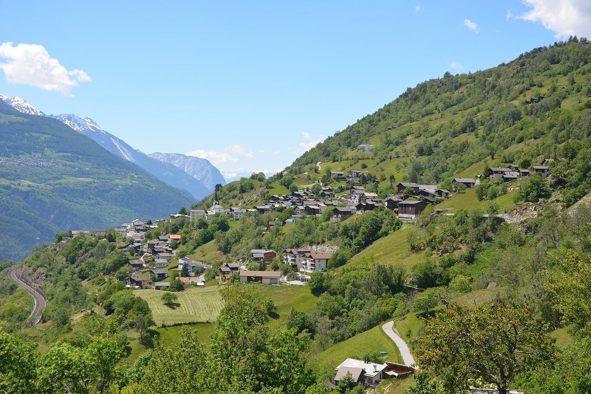
Isolated Alemannic farms are probably the origin of Ausserberg, a scattered settlement on the north slope of the Rhone valley between the Baltschiederbach and the Bietschhorn. Its centre, Trogdorf, lies at 1'008 metres above sea level. In the Middle Ages the Bishop of Sion held part of the justice and seigneurial rights. From the 16th century several localities, until then self-governing, came together around Trogdorf. The village long belonged to the parish of Raron. Subsistence farming, supported by an extensive irrigation network, dominated until the 20th century. After the Lonza plant opened in Visp and Lalden, many inhabitants became workers or worker-farmers, often sheep farmers.[1]
History of Ausserberg
1378. Mentioned as « Leucrun ».[1]
1401. Mentioned as « mons episcopi ».[1]
16th century. Beginning of the grouping of the localities around Trogdorf.[1]
1523. Mentioned as « mons exterior ». Customary law of the community.[1]
1645. Construction of the town hall.[1]
around 1680. Construction of the chapel of the Holy Family, now St Joseph.[1]
1815. Ausserberg becomes a rectorate.[1]
1853-1855. Construction of a chapel, which will become the parish church.[1]
1867. Ausserberg becomes a parish and separates from Raron.[1]
1879. The chapel of 1853-1855 becomes the parish church.[1]
1910. The population reaches 1'020 inhabitants, linked to the construction of the railway.[1]
1913. Opening of a station on the Bern-Lötschberg-Simplon line.[1]
1922. Annexation of the hamlet of Gründen, completing the grouping of the municipality.[1]
Population of Ausserberg
Sources and references: [1][2]
| 1850 | 358 inhabitants |
| 1900 | 398 inhabitants |
| 1910 | 1'020 inhabitants (railway construction) |
| 1920 | 458 inhabitants |
| 1950 | 631 inhabitants (with Gründen) |
| 1970 | 701 inhabitants |
| 2000 | 628 inhabitants |
| 2025 | 638 inhabitants |
Historic sites in Ausserberg
Trogdorf. Village centre at 1'008 metres above sea level, around which the localities of the municipality came together from the 16th century.[1]
Chapel of St Joseph. Chapel of the Holy Family built around 1680, now dedicated to St Joseph.[1]
Parish church. Chapel built in 1853-1855, which became the parish church in 1879.[1]
Town hall. Built in 1645.[1]
Irrigation channels (Suonen). Extensive irrigation network that supported subsistence farming. The Manera, Undra, Mittla and Niwärch channels are reportedly still in use and followed by hiking trails.[1][4]
Lötschberg south ramp. The municipality is served by the Bern-Lötschberg-Simplon line, with a station since 1913, and crossed by a hiking trail along the south ramp.[1]
Sources
- Dictionnaire historique de la Suisse, « Ausserberg » (Philipp Kalbermatter, trad. Michel Thévenaz, version du 06.10.2011)
- Office fédéral de la statistique (OFS), STATPOP, chiffres provisoires au 31.12.2025, via citypopulation.de
- geo.admin.ch, recherche de lieux (coordonnées)
- Valais/Wallis Promotion (valais.ch), « Niwärch, Gorperi, Undra » (randonnée le long des bisses d'Ausserberg)
Other villages near Ausserberg
Missing information, or do you have a source? Suggest a correction or addition. Every submission is checked before it's published.
Suggest a change