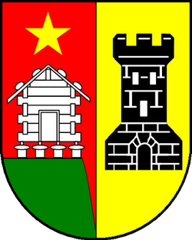
Hohtenn
Origin of the name Hohtenn
The name first appears in 1438 as « a dem Hotenne ». Until the 18th century the place was usually called Gestelberg (« Mons Castellionis »). The origin of the name is not explained.[1]
Founding of Hohtenn
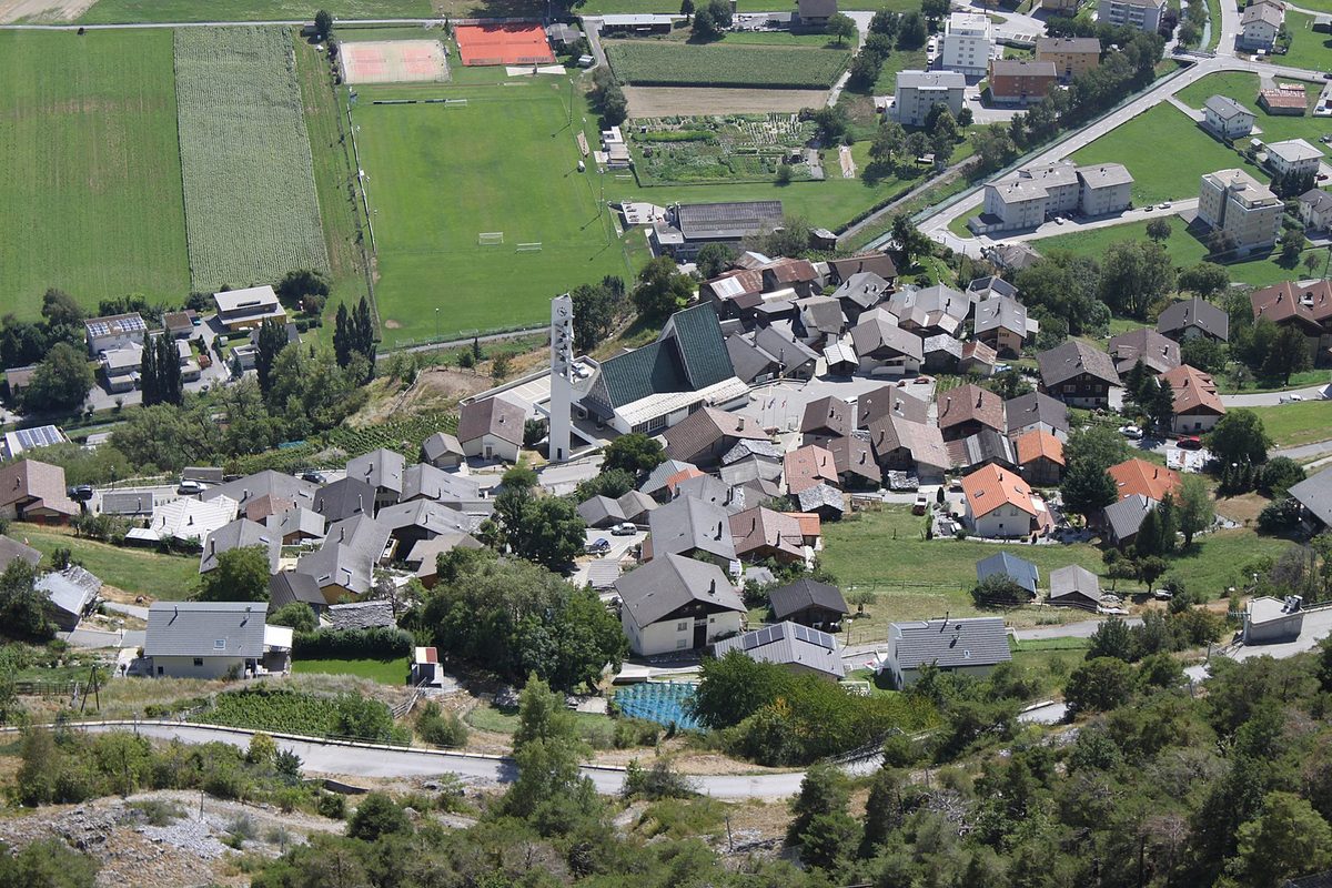
Hohtenn is a village on the north slope of the Rhône valley, surrounded by several outlying hamlets, including Laden. By the mid-13th century at the latest it depended on the priory of Niedergesteln, and it is mentioned as a commune in the 16th century. With Steg and Niedergesteln it owned forests and common land, which were divided in the 19th century. In the 20th century mountain farming gradually gave way to factory work, at Lonza in Gampel and later at the aluminium factory in Steg. The station on the Lötschberg line and the road to Steg ended the village's isolation.[1][2]
History of Hohtenn
1248. Hohtenn depends on the priory of Niedergesteln from this date at the latest.[1]
1438. First mention in the form « a dem Hotenne ».[1]
1529. Hohtenn is mentioned as a commune.[1]
17th century. Probable construction of a chapel dedicated to St Barbara.[1]
1707. Construction of the burghers' house.[1]
1714. Farmers' guild (village statute).[1]
1852 and 1860. Division of the forests and common land held jointly by Steg, Niedergesteln and Hohtenn.[1]
1897. Opening of the Lonza works in Gampel, which will employ villagers.[1]
1910. The population reaches 499, linked to the construction of the Lötschberg line.[1]
1913. Opening of the station on the BLS line. Hohtenn forms a parish with Steg.[1]
1930-1932. Construction of the road linking Hohtenn to Steg.[1]
1961-1962. Construction of the Church of St Maurice.[1]
1963. Opening of the aluminium factory in Steg, which will employ villagers.[1]
1989. Opening of the Mittal tunnel near Hohtenn, which serves as the access road to the Lötschental.[1]
2007. Voters in Steg and Hohtenn reportedly approve the merger on 16 December.
2009. Merger with Steg on 1 January: creation of the municipality of Steg-Hohtenn.[1][2]
Population of Hohtenn
Sources and references: [1]
| 1850 | 107 inhabitants |
| 1900 | 170 inhabitants |
| 1910 | 499 inhabitants (construction of the Lötschberg line) |
| 1950 | 308 inhabitants |
| 2000 | 200 inhabitants |
Historic sites in Hohtenn
Church of St Maurice. Church built in 1961-1962; Hohtenn has formed a parish with Steg since 1913.[1]
Chapel of St Barbara. Chapel dedicated to St Barbara, probably from the 17th century.[1]
Burghers' house. Built in 1707.[1]
Hohtenn station. Station on the BLS Lötschberg line opened in 1913. Starting point of the south ramp hiking trail to Ausserberg, Eggerberg and Brig.[1][3]
Mittal tunnel. Road tunnel opened in 1989 near Hohtenn, serving as the access road to the Lötschental.[1]
Sources
- Dictionnaire historique de la Suisse (version allemande originale), « Hohtenn » (Philipp Kalbermatter, version du 05.01.2017)
- Etat du Valais, Département des finances, des institutions et de la santé, Service des affaires intérieures et communales, « Rapport sur les finances communales 2008 » (février 2010) (fusions de communes et dates d'entrée en vigueur)
- BLS, « Wanderung auf der Lötschberger-Südrampe » (sentier de Hohtenn à Brig)
- geo.admin.ch, recherche de lieux (coordonnées)
Other villages near Hohtenn
Missing information, or do you have a source? Suggest a correction or addition. Every submission is checked before it's published.
Suggest a change