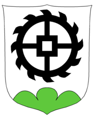
Mühlebach
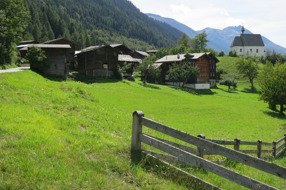
Origin of the name Mühlebach
First mentioned in 1215 in the form « de Mulibach », with the lords of Mühlebach. The name is said to have first designated the stream that drove mills, before passing to the village.
Founding of Mühlebach
Mühlebach lies at the mouth of the Rappetal, on the old Goms valley road, between Niederwald and Ernen. The place appears with the lords of Mühlebach, ministerials of the Bishop of Sion, whose tower stood on the hill where the chapel now stands. Spiritually, the village has always belonged to Ernen. Its built core took shape in the late Middle Ages and the 16th century. The sculptor Johann Joseph Bodmer, probable author of the altar of the Steinhaus chapel, came from here. A former municipality, Mühlebach is part of the municipality of Ernen together with Ausserbinn and Steinhaus.
History of Mühlebach
1215. First mention as « de Mulibach », with the lords of Mühlebach, ministerials of the Bishop of Sion.
1221. A property of the bishopric in Mühlebach is reportedly recorded.
1469. Ernen, Niederernen and Mühlebach reportedly adopt a joint ordinance.
1501. Date inscribed on the house of the banneret Johann Clausen, the oldest in the valley dated by an inscription.
16th century. Eight of the village houses are built, adding to nine late medieval houses.
1530. Oldest known community statutes (date uncertain).
1676. Consecration of the chapel of the Holy Family, built on the hill of the former lords' tower.
1728-1729. The sculptor Johann Joseph Bodmer of Mühlebach probably makes the altar of the Steinhaus chapel.
2004. On 1 October the municipality of Mühlebach is dissolved and joined, with Ausserbinn and Steinhaus, to the municipality of Ernen.[3]
2015. Opening of the Goms Bridge pedestrian suspension bridge, 280 m long, between Fürgangen station and Mühlebach, 92 m above the Rhône.[5][6]
Population of Mühlebach
| 1850 | 109 |
| 1900 | 108 |
| 1950 | 84 |
| 2000 | 81 |
Historic sites in Mühlebach
Chapel of the Holy Family. Consecrated in 1676, it stands on the hill where the tower of the lords of Mühlebach once rose.
House of the banneret Johann Clausen. Dated 1501 by an inscription, it is the oldest house in the valley dated in this way.
Birthplace of Cardinal Schiner. House in the village listed in the federal inventory of cultural property (object of regional importance) as the birthplace of Cardinal Matthäus Schiner. It is said to date from 1435 (date uncertain).[4]
Remains in Mühlebach
Medieval village core. Nine late medieval houses and eight 16th-century houses form the heart of the village.
Site of the lords' tower. The chapel hill carried the tower of the lords of Mühlebach, ministerials of the Bishop of Sion.
Sources
- Dictionnaire historique de la Suisse, « Mühlebach » (Robert Walpen, trad. André Naon, version du 04.01.2017 ; résumé lu)
- Dictionnaire historique de la Suisse, « Steinhaus » (Bernard Truffer, trad. Annelise Rigo, version du 04.01.2017 ; résumé lu)
- Office fédéral de la statistique, Répertoire officiel des communes, mutation n° 2303 (01.10.2004)
- Office fédéral de la protection de la population (OFPP), Inventaire PBC, liste cantonale du Valais (objets A et B, état au 1.1.2026)
- Bellwald Tourismus, « Hängebrücke Goms Bridge »
- Hängebrücken Aletsch-Goms, « Goms Bridge »
- geo.admin.ch, recherche de lieux (coordonnées)
Other villages near Mühlebach
Missing information, or do you have a source? Suggest a correction or addition. Every submission is checked before it's published.
Suggest a change