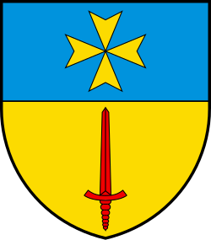
Plan-les-Ouates
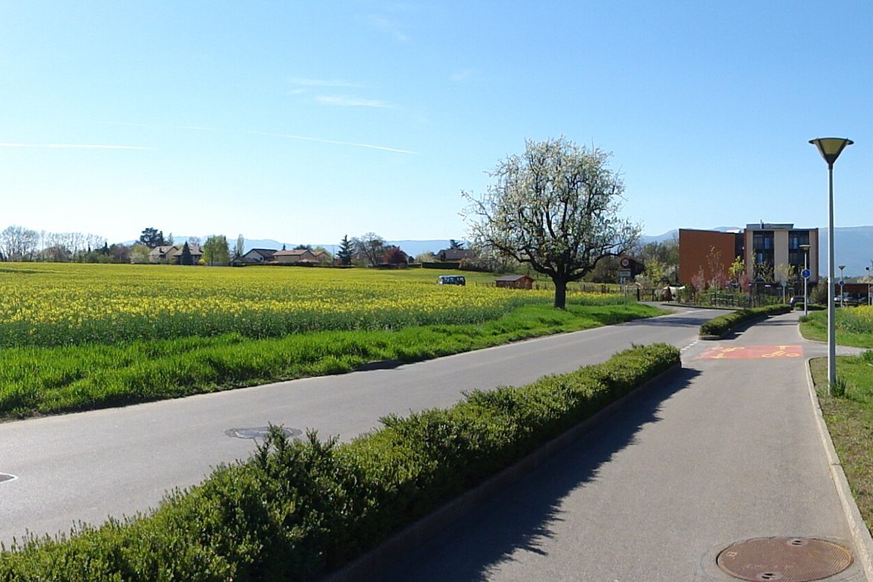
Origin of the name Plan-les-Ouates
The name appears in 1537 in the form « Plan-des-Vuattes ». « Plan » means a plain. « Ouates » probably derives from a Gothic root, « wato » or « gwatt », water, and would refer to flood-prone land. Another explanation links it to a watch post, but it is not confirmed.[1][4]
Founding of Plan-les-Ouates
No one knows who founded the village. The place was nevertheless inhabited in Roman times: foundations of a Gallo-Roman villa have been uncovered along the road that led from Genève to Seyssel and on to Lyon. In the Middle Ages the area belonged to the bailiwick of Ternier, in the county of Genève and then the duchy of Savoy, until the Bernese occupation. Today's municipality was born of a redrawing of boundaries. After the annexation of Savoy by France, Bardonnex, Perly-Certoux and Plan-les-Ouates formed a single municipality, Compesières, which the Treaty of Turin attached to the canton of Genève with the Communes réunies. Perly-Certoux split off first, then Bardonnex and Plan-les-Ouates each became independent. Plan-les-Ouates also includes the hamlets of Arare and Saconnex d'Arve. A large industrial zone, built in the 1980s, contributed to its development.[1][3]
History of Plan-les-Ouates
Roman period. A Gallo-Roman villa stands along the road from Genève to Seyssel and on to Lyon. Its foundations have been uncovered.[1]
12th century. Saconnex d'Arve is the cradle of the de Sacconay family.[2]
1299-1301. Count Amadeus II of Genève has the castle of Saconnex d'Arve built.[2]
1536-1567. Bernese occupation; Saconnex d'Arve is plundered by the Bernese in 1536.[1][2]
1537. First mention of the name, in the form « Plan-des-Vuattes ».[1]
1544. Marin de Ternier has to cede Saconnex d'Arve to Hugues Vandel, a burgher of Genève. The place takes the name Saconnex-Vandel.[2]
1589-1590. The castle of Saconnex d'Arve is burned in 1589, then dismantled by order of the Council of Genève in 1590.[2][4]
1652. The lordship of Saconnex d'Arve is raised to a county.[2]
1793. After the annexation of Savoy by France, Bardonnex, Perly-Certoux and Plan-les-Ouates form a single municipality, Compesières.[1]
1816. Attachment to the canton of Genève by the Treaty of Turin (Communes réunies). The canton leases the communal land as military training grounds.[1][3]
1820. Perly-Certoux separates from Compesières.[1]
1851. On 16 June Plan-les-Ouates becomes an independent municipality. Bardonnex does too, ending the municipality of Compesières.[1][3]
1874. Of the military installations only a shooting range remains, moved to Bernex in 1912.[1]
1899. Opening of the tramway line from Genève to Saint-Julien-en-Genevois.[1]
1922. Construction of a velodrome, replacing the one at the Jonction.[1]
1936. Creation of a Catholic parish. A Protestant parish follows in 1952. Until then Plan-les-Ouates belonged to the parish of Compesières.[1]
1980s. Construction of a large industrial zone, which contributes to the municipality's development.[1]
2026. 175th anniversary of the municipality. The Council of State names a meeting space at the corner of the route de Saint-Julien and the route des Chevaliers-de-Malte « Place du 175ème ».[3]
Population of Plan-les-Ouates
Sources and references: [1][5]
| 1860 | 857 |
| 1900 | 880 |
| 1950 | 1'665 |
| 1980 | 3'647 |
| 2000 | 6'804 |
| 2010 | 9'984 |
| 2025 | 12'700 |
Historic sites in Plan-les-Ouates
Saconnex d'Arve. Hamlet made up of Saconnex-Dessus and Saconnex-Dessous, cradle of the de Sacconay family from the 12th century, where the castle built from 1299 to 1301 by Count Amadeus II of Genève stood.[2][4]
Arare. Hamlet of the municipality, with a fortified house from the 15th and 16th centuries.[1][4]
Place du 175ème. Meeting space at the corner of the route de Saint-Julien and the route des Chevaliers-de-Malte, named in 2026 for the municipality's 175th anniversary.[3]
Remains in Plan-les-Ouates
Gallo-Roman villa. Foundations of a Gallo-Roman villa uncovered along the road from Genève to Seyssel and on to Lyon.[1]
Castle of Saconnex d'Arve. Quadrilateral of about 52 m by 30 m, surrounded by a moat, with four round corner towers. Burned in 1589 and dismantled in 1590, it still had three towers in the 18th century and two in 1820. At the end of the 19th century the Montfalcon family, owners of the site, had a tower crowned with a cast-iron statue of the Virgin.[2]
Fortified house of Arare. Fortified house from the 15th and 16th centuries.[1][4]
Sources
- Dictionnaire historique de la Suisse, « Plan-les-Ouates » (Jacques Barrelet), version du 25.01.2011
- Dictionnaire historique de la Suisse, « Saconnex d'Arve » (Dominique Zumkeller)
- Conseil d'État de la République et canton de Genève, arrêté relatif à la dénomination d'une place sur la commune de Plan-les-Ouates (22 avril 2026)
- Commune de Plan-les-Ouates, carte « Découverte de Plan-les-Ouates », patrimoine historique
- Office cantonal de la statistique (OCSTAT), Mémento statistique du canton de Genève 2026, tableau Population résidante par commune, en 2025
Localities of the municipality with a page
Other villages near Plan-les-Ouates
Missing information, or do you have a source? Suggest a correction or addition. Every submission is checked before it's published.
Suggest a change