Bovernier
Origin of the name Bovernier
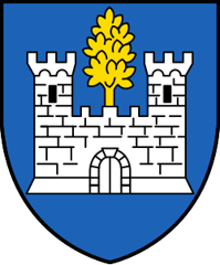
The form « Burgus Warnierus » is found in 1228. In German the village was formerly called « Birnier ». The name is said to mean « Warnier's borough », from an old Franco-Provençal word for borough and a Germanic personal name, not « borough of the alders » as the coat of arms suggests.[1]
Founding of Bovernier
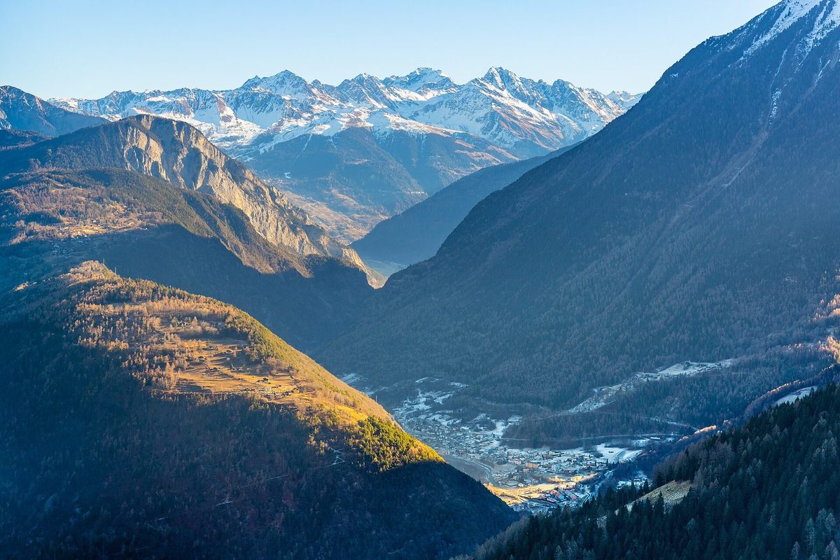
Bovernier occupies a defile at the entrance to the Entremont, on the Dranse. The municipality comprises the village, at the foot of the Catogne, and the hamlet of Les Valettes. In the Middle Ages it was a métralie (mayoralty) of the Savoyard castellany of Sembrancher. The locality later passed to the government of Lower Valais, then to that of Saint-Maurice, while also belonging to the dizain, later district, of Martigny. It depended on the parish of Sembrancher until the mid-18th century. Long poor and mainly agricultural (vines, livestock), it was linked to the plain by road, then by train. Today many residents work in the secondary and tertiary sectors. Vines and apricots remain a supplementary income.[1]
History of Bovernier
1228. Mentioned in the form « Burgus Warnierus ».[1]
1445. Chapel of Saint-Théodule.[1]
1475-1536. Bovernier belongs to the government of Lower Valais, before coming under that of Saint-Maurice.[1]
1595. On 25 May an ice avalanche from the Giétro glacier dams the Dranse de Bagnes. The outburst flood devastates the whole valley down to Martigny and kills 140 people.[4]
1747. Bovernier, previously dependent on Sembrancher, becomes a parish.[1]
1752. The present late Baroque church is built.[1]
1817. The road is improved.[1]
1818. On 16 June a new Giétro outburst pours 20 million cubic metres of water into the Dranse, reaching Martigny around 6 pm and killing 36 people. The village was reportedly protected by a wooden barrier.[5]
1877. The Durnand gorges are laid out, on the road to Champex.[6]
1910. The railway links Bovernier to the plain.[1]
1935. The church is enlarged.[1]
1960s. The road is widened.[1]
Population of Bovernier
Sources and references: [1][2]
| 1850 | 300 |
| 1900 | 476 |
| 1950 | 557 |
| 2000 | 753 |
| 2025 | 952 |
Historic sites in Bovernier
Parish church. Late Baroque church built in 1752, shortly after Bovernier became a parish (1747), and enlarged in 1935.[1]
Chapel of Saint-Théodule. Chapel dated 1445, the oldest religious building recorded for the municipality.[1]
Les Valettes and the Durnand gorges. At the hamlet of Les Valettes, west of Bovernier, open the Durnand gorges, laid out in 1877 on the road to Champex and fully renovated in 1987.[6]
Legends of Bovernier
The wasps and the vine. According to a local tradition, the devil sent wasps to the village, while Saint Theodul gave it the vine. The inhabitants are reportedly nicknamed « Vouipes », wasps in patois.
Sources
- Dictionnaire historique de la Suisse, « Bovernier » (Catherine Raemy-Berthod, version de 1997 remaniée le 14.10.2004)
- Office fédéral de la statistique (OFS), STATPOP, chiffres provisoires au 31.12.2025, via citypopulation.de
- geo.admin.ch, recherche de lieux (coordonnées)
- PLANAT (Plate-forme nationale Dangers naturels), « Historical events » : 25 mai 1595, débâcle dans le val de Bagnes
- Commune de Bagnes et Musée de Bagnes, communiqué « Commémorations officielles de la débâcle du Giétro » (juin 2018)
- Pays du Saint-Bernard (office du tourisme), « Durnand gorges »
Localities of the municipality with a page
Other villages near Bovernier
Missing information, or do you have a source? Suggest a correction or addition. Every submission is checked before it's published.
Suggest a change