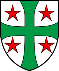
Chalais
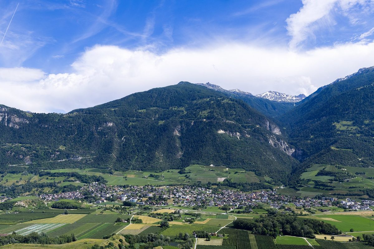
Origin of the name Chalais
The form « Jaler » appears in the 11th century, then « Challir » in 1425. The origin of the name remains uncertain: it may come from a root « cal- » meaning a stony mountain.[1]
Founding of Chalais
Cup-marked stones at Tracui and Vercorin show that the heights were frequented in prehistoric times. At the beginning of the 13th century a castellany broke away from the episcopal lordship of Sierre. Chalais was then enfeoffed to several noble families, the de Chalais, de Blouvignoud and de Chevron, and a square tower went up in the 13th century. The community appears in the 14th century. The people of the plain took their livestock up to the pastures of Vercorin, which bound the two communities closely. The centre of gravity nevertheless remained at Chalais. A very dense irrigation network developed from the 13th century. After the dizain, the municipality came under the district of Sierre. Who founded Chalais is not known.[1]
History of Chalais
11th century. Mentioned as « Jaler ».[1]
13th century. A castellany breaks away from the episcopal lordship of Sierre. A square tower is built and a very dense irrigation network begins to develop.[1]
1279. Mention of the parish of Saint-Gall, which also includes Chippis.[1]
14th century. First mention of the community.[1]
1425. Mentioned as « Challir ».[1]
late 16th century. Chalais belongs to the dizain of Sierre, until 1798.[1]
1777. Antoine Pancrace de Courten reportedly has the castle of Vercorin built.
1856. Chippis becomes a parish independent of Chalais.[1]
1892. Severe fire in Chalais.[1]
1936. The 13th-century tower largely collapses.[1]
1938. Opening of a road for vehicles between Chalais and Vercorin.[1]
1951. A cable car to Vercorin comes into service.[1]
1970. The industrial sector reaches its peak in the municipality.[1]
Population of Chalais
Sources and references: [1][2]
| 1798 | 492 inhabitants |
| 1850 | 555 inhabitants |
| 1900 | 1'116 inhabitants |
| 1950 | 1'635 inhabitants |
| 2000 | 2'657 inhabitants |
| 2025 | 3'975 |
Historic sites in Chalais
Church of Saint-Gall. The parish, mentioned from 1279, included Chippis until 1856. The present church was reportedly built from 1856 to 1858 and restored after the earthquake of 1946.[1]
Vercorin. The people of Chalais have used the pastures of this village on the heights since the end of the Middle Ages. A road has linked it to the plain since 1938, a cable car since 1951. The castle of Vercorin reportedly dates from 1777.[1]
Bisses and irrigation network. A very dense irrigation network developed on the municipality's territory from the 13th century.[1]
Remains in Chalais
Tower of Chalais. Square 13th-century tower, which largely collapsed in 1936.[1][4]
Cup-marked stones. Prehistoric cup-marked stones at Tracui and Vercorin.[1]
Sources
- Dictionnaire historique de la Suisse, « Chalais (VS) » (Danielle Allet-Zwissig, version de 1998 remaniée le 20.06.2013)
- Office fédéral de la statistique (OFS), STATPOP, chiffres provisoires au 31.12.2025, via citypopulation.de
- geo.admin.ch, recherche de lieux (coordonnées)
- Office fédéral de la protection de la population (OFPP), Inventaire PBC, liste cantonale du Valais (objets A et B, état au 1.1.2026)
Localities of the municipality with a page
Other villages near Chalais
Missing information, or do you have a source? Suggest a correction or addition. Every submission is checked before it's published.
Suggest a change