Étang de la Gruère
Origin of the name Étang de la Gruère
The name reportedly recalls the « gruaux » (oat groats), in connection with the mill the pond powered.
Founding of Étang de la Gruère
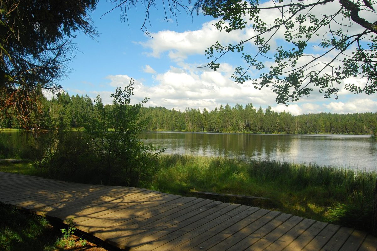
The Étang de la Gruère is an artificial body of water: in the 17th century a dam was built to hold back the water and power a mill, later replaced by a sawmill. It lies in the middle of a raised bog that has formed since the end of the last ice age, about 12'000 years ago. The pond itself is on the territory of the municipality of Saignelégier (canton of Jura). The surrounding nature reserve and mire landscape also extend over Le Bémont and Montfaucon (Jura) and Tramelan (canton of Bern). The reserve was created in 1943 on the initiative of the Naturalistes francs-montagnards.[1][2][3]
History of Étang de la Gruère
About 12'000 years ago. After the great ice ages, peat begins to accumulate. In places it reaches 9 metres in thickness.[1]
17th century. Construction of a dam that creates the pond to power a mill, later replaced by a sawmill.[1][2]
1943. Creation of the nature reserve on the initiative of the Naturalistes francs-montagnards.[1]
Around 1955. End of peat cutting.[1]
1987. Acceptance of the Rothenthurm initiative, which places Swiss raised bogs under full protection.[1]
1992. Creation of the Centre Nature Les Cerlatez, devoted to the discovery of the Gruère and Royes reserves.[3]
1996. Listing of the Étang de la Gruère (object no. 7) in the Federal Inventory of Mire Landscapes of national importance.[2]
Historic sites in Étang de la Gruère
Étang de la Gruère. Body of water created in the 17th century by a dam, at the heart of a nature reserve of about 120 hectares.[1]
Raised bog. Raised bog of 56 hectares, of national importance, formed over 12'000 years. In the formerly exploited areas only about 3 metres of peat remain.[1]
Remains in Étang de la Gruère
Remains of the mill. The remains of the former mill powered by the pond lie in a sinkhole.[2]
Former peat cuttings. Partly silted-up extraction ponds and old drains, now recolonised by vegetation, bear witness to peat cutting.[2]
Sources
- Centre Nature Les Cerlatez, « Réserve naturelle de la Gruère »
- Office fédéral de l'environnement, Inventaire fédéral des sites marécageux, objet n° 7 « Etang de la Gruère » (fiche 2017)
- Dictionnaire historique de la Suisse, « Saignelégier » (François Kohler), version du 11.12.2020
- geo.admin.ch (swisstopo), recherche de lieux « Etang de la Gruère »
Other villages near Étang de la Gruère
Missing information, or do you have a source? Suggest a correction or addition. Every submission is checked before it's published.
Suggest a change