Étangs de Bonfol
Origin of the name Étangs de Bonfol
The ponds bear the name of the village of Bonfol, on whose territory they lie. Several have their own name: Étang du Milieu, Neuf-Étang (or Étang-Neuf), Étang du Moulin.[2][3]
Founding of Étangs de Bonfol
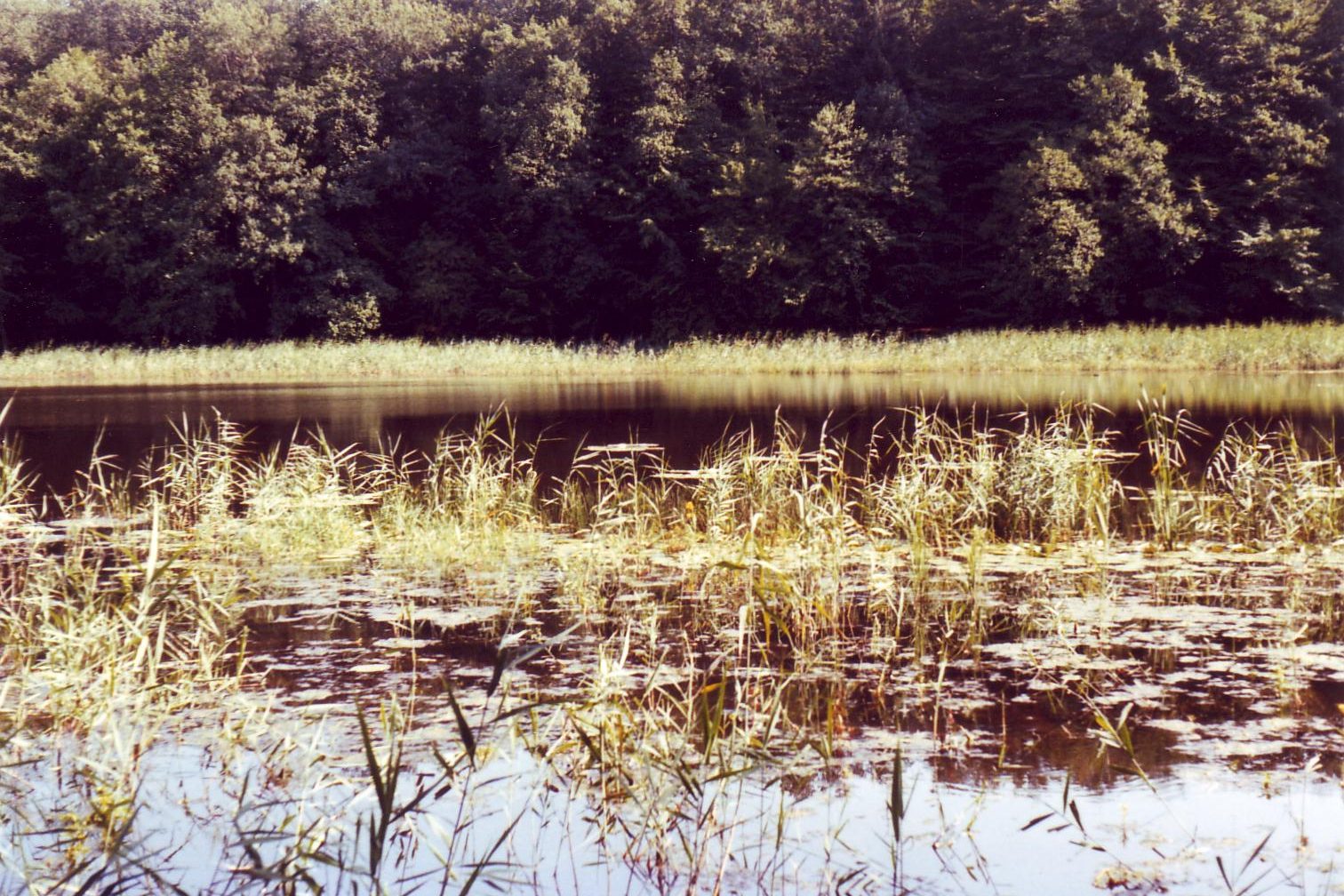
The Bonfol ponds are artificial bodies of water at the north-eastern tip of Ajoie, at about 450 m altitude. They were dug and maintained from the 15th century for carp farming and probably supplied fish to the court at Porrentruy. They owe their existence to the region's impermeable subsoil, rare in the limestone Jura: some occupy former sand pits, and their clay beds hold the water. The prince-bishop of Basel had dikes built in 1751-1754. Nature reserves since 1961, they form, together with the Vendlincourt ponds, an object of the Federal Inventory of Landscapes (BLN no. 1101). They lie in the former municipality of Bonfol, now in the municipality of Basse-Vendline (merger of 1 January 2024).[1][2]
History of Étangs de Bonfol
1479. A pond is reportedly dug at Bonfol.[3]
1497. First mention of the Bonfol ponds.[1][2]
1734. The community of Bonfol takes possession of the Neuf-Étang, created by Prince-Bishop Jean-Conrad de Reinach without the burghers' consent. On 13 April, the prince's advocate general rules in favour of the treasury.[3]
1735. On 31 October, inhabitants of Bonfol prevent the prince-bishop's men from reaching the pond.[3]
1751-1754. The prince-bishop of Basel has dikes built and the ponds fitted out for fishing.[1][2]
1784. A severe epidemic, which kills about sixty people in Bonfol, is blamed on the miasmas of the drained Grand-Étang. Basins are then emptied for fear of the disease (or 1786, date uncertain).[3]
1794. Under the department of Mont-Terrible, the fish in the ponds are inventoried and the carp sold with a view to draining them. On 20 June, the Étang du Moulin and the Étang du Milieu are exempted because the mill depends on them.[3]
19th century. The Grand Étang Chapuis disappears, changing the look of the site.[2]
1961. The ponds become nature reserves.[1]
Historic sites in Étangs de Bonfol
Northern group. Étang du Milieu, Neuf-Étang, the Champ de Manche ponds and the former Pré de l'Essert pond, now a fen of national importance.[2]
Rougeat forest ponds. Central group of woodland ponds with variable water levels.[2]
Esserts ponds. Southern group, more heavily modified.[2]
Fauna and flora. The ponds are an amphibian breeding site of national importance, including for the great crested newt. They are also home to the dragonfly Epitheca bimaculata and rare plants of exposed shores.[2]
Sources
- Dictionnaire historique de la Suisse, « Bonfol » (Dominique Prongué), version du 26.05.2020
- Office fédéral de l'environnement, Inventaire fédéral des paysages (IFP), objet n° 1101 « Étangs de Bonfol et de Vendlincourt »
- Denis Moine, Chronologie jurassienne, « Bonfol »
- Jura Trois-Lacs, randonnée « Bonfol »
- geo.admin.ch (swisstopo), recherche de lieux et limites communales historiques
Other villages near Étangs de Bonfol
Missing information, or do you have a source? Suggest a correction or addition. Every submission is checked before it's published.
Suggest a change