Vernayaz
Origin of the name Vernayaz
The name appears in 1279 as « Verneye ». From the 13th century it reportedly replaced, little by little, that of Ottanel, also written « Octanel », « Octanez » or « Athonel ». It is said to come from Celtic « uerna », alder, with a Latin collective suffix, meaning a place planted with alders. In patois the municipality is reportedly called « Varnèye ».[1]
Founding of Vernayaz
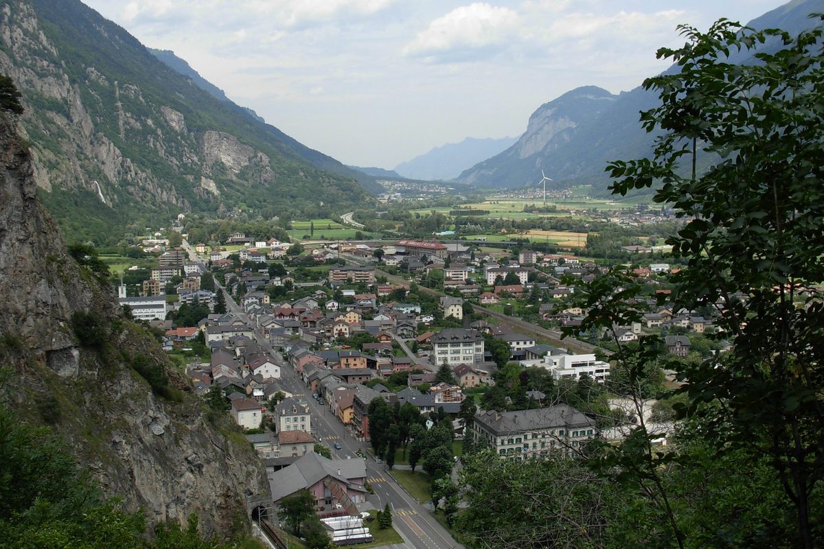
Vernayaz is the heir of Ottanel. In the 11th century Rudolph III of Burgundy confirmed the rights of the abbey of Saint-Maurice over Ottanel and Salvan. Ottanel had its chapel, then a parish covering the whole valley of Salvan and Finhaut, until the parish centre was moved to Salvan. The hamlet of Ottanel ended up under a rockslide. Ottanel, Gueuroz and Salvan then formed a quarter of the castellany of Salvan, in the government of Saint-Maurice, and later the municipality of Salvan, from which Vernayaz broke away. The village spreads over the left bank of the Rhône, at the mouth of the Trient gorge, with the hamlets of Miéville and Gueuroz. Served by the Simplon and Martigny-Chamonix lines, it lived from tourism until the First World War, then from industry.[1][2]
History of Vernayaz
11th century. Rudolph III of Burgundy confirms the rights of the abbey of Saint-Maurice over Ottanel and Salvan.[1][2]
1146. First mention of the Ottanel chapel.[1]
1178. The parish of Ottanel, covering the valley of Salvan and Finhaut, is mentioned.[1]
1265. By this date at the latest, the centre of the parish is moved from Ottanel to Salvan.[1]
1279. First mention of Vernayaz, in the form « Verneye ».[1]
1535. The hamlet of Ottanel vanishes under a rockslide.[1]
around 1635. A flood of the Rhône devastates Vernayaz.[1]
18th century. A glassworks is in operation.[1]
1798-1912. Ottanel, Gueuroz, Miéville and Salvan belong to the municipality of Salvan.[1][2]
19th century. A slate quarry is worked.[1]
1893. Construction of the Notre-Dame church.[1]
1906. Opening of the Martigny-Chamonix line. Together with the Simplon line it makes Vernayaz a tourist centre until the First World War.
1912. Vernayaz separates from Salvan and forms a municipality with Miéville and Gueuroz.[1][2]
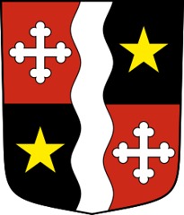
1918. Vernayaz adopts its coat of arms. The star reportedly symbolises Ottanel.
1920. Vernayaz becomes a parish.[1][2]
1947-1952. Construction of the Miéville hydroelectric plant.[1]
2005. The secondary sector provides 51 % of the jobs in the municipality.[1]
2012. For the centenary of the separation, Vernayaz and Salvan reportedly host the Géoglyphe de Grand Tête by the artist Alain Monney.
Population of Vernayaz
Sources and references: [1][4]
| 1920 | 992 |
| 1950 | 1'079 |
| 2000 | 1'597 |
| 2025 | 1'978 |
Historic sites in Vernayaz
Pissevache waterfall. Waterfall which, with the Trient gorge, made Vernayaz a tourist centre until the First World War.[1]
Trient gorge. Gorge at whose mouth the village grew up, a major tourist attraction in the era of the grand hotels.[1]
Notre-Dame church. Church built in 1893, which became the parish church when Vernayaz became a parish in 1920.[1]
Miéville hydroelectric plant. Plant built from 1947 to 1952 in the hamlet of Miéville.[1]
Ottanel. Former centre of the valley, with a chapel mentioned in 1146 and a parish mentioned in 1178. The hamlet vanished under a rockslide in 1535.[1]
Sources
- Dictionnaire historique de la Suisse, « Vernayaz » (David Rey, version du 08.07.2013)
- Dictionnaire historique de la Suisse, « Salvan (commune) » (Gaëlle Bourguinet Eggs, version du 07.06.2013)
- Vallée du Trient Tourisme, « Géoglyphe de Grand Tête, the silhouette walk » (œuvre d'Alain Monney, serment d'amitié entre Salvan et Vernayaz)
- Office fédéral de la statistique (OFS), STATPOP, chiffres provisoires au 31.12.2025, via citypopulation.de
- geo.admin.ch, recherche de lieux (coordonnées)
Localities of the municipality with a page
Other villages near Vernayaz
Missing information, or do you have a source? Suggest a correction or addition. Every submission is checked before it's published.
Suggest a change