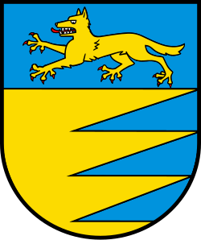
Courtedoux
Origin of the name Courtedoux
The village appears in 814 in the form « Curtis Udulphi ». The name would combine the Romance term « corte » (farm, agricultural estate, hamlet) with the Germanic personal name Holdwulf or Holdolf, meaning « Holdwulf's estate ». The old German name is reportedly « Ludolfsdorf ».[1]
Founding of Courtedoux
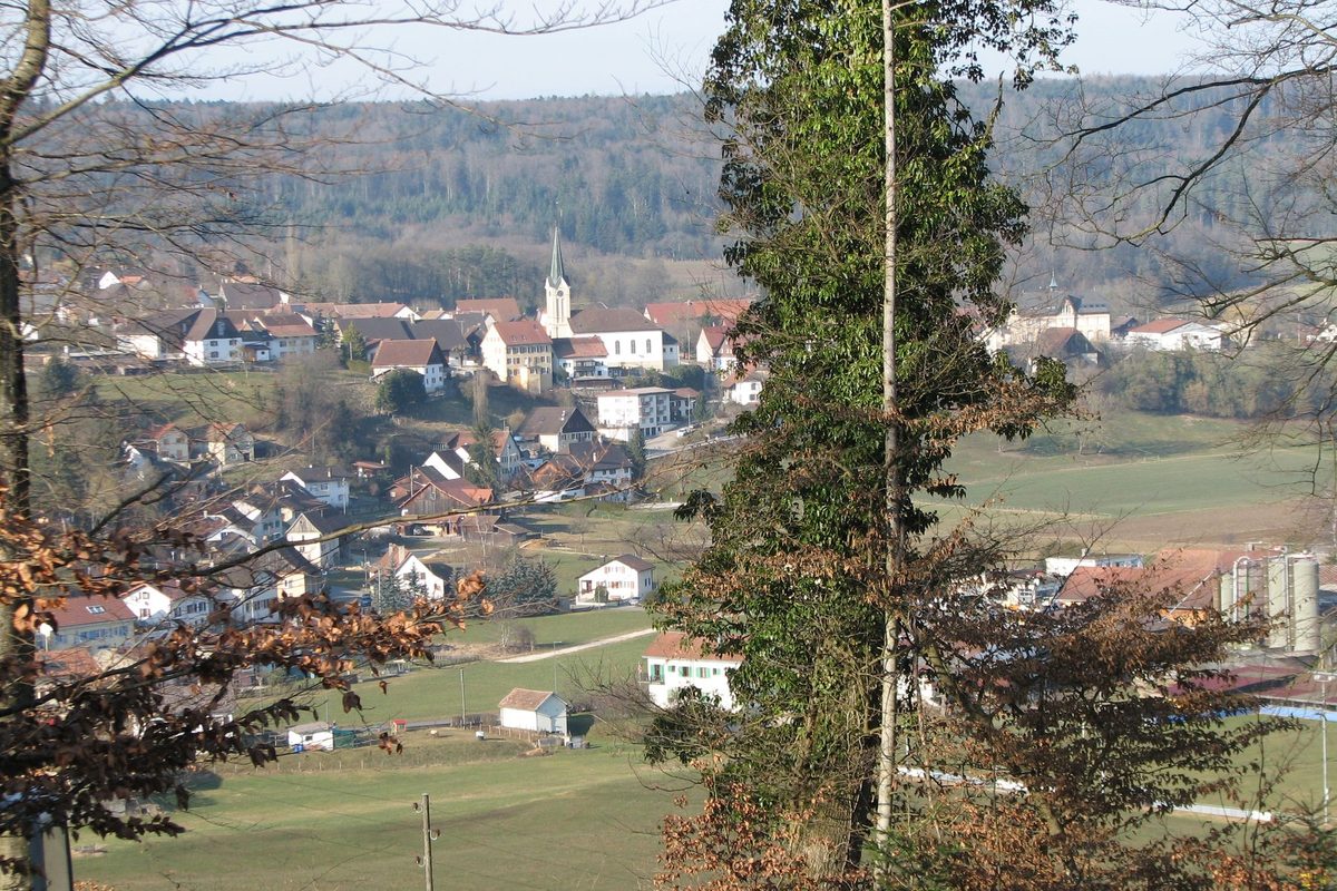
Nobody knows who founded Courtedoux. The name, which combines a term for an agricultural estate with a Germanic personal name, reportedly points to an early medieval estate. In the 9th century the place was among the possessions of the abbey of Saint-Ursanne. The lords of Asuel also held an estate there, ceded in 1241 to the bishop of Basel. The village grew up on a height above the Creugenat plain, west of Porrentruy, as a farming community before becoming a residential area of the neighbouring town.[1]
History of Courtedoux
814. Earliest known mention of the village, in the form « Curtis Udulphi ».[1]
9th century. Courtedoux is among the possessions of the abbey of Saint-Ursanne.[1]
1241. The estate held by the lords of Asuel at Courtedoux is ceded to the bishop of Basel.[1]
1389. The church of Saint-Martin is built.[1]
Ancien Régime. Courtedoux is the seat of the large Ajoie mairie of the same name, in the Prince-Bishopric of Basel. The parish belongs to the diocese of Besançon.[1]
1779. The parish passes from the diocese of Besançon to that of Basel.[1]
1793-1813. The village is annexed to France.[1]
1815. Courtedoux passes to the canton of Bern, to which it belongs until 1978.[1]
1835. The church of Saint-Martin is rebuilt.[1]
1836. Courtedoux becomes a mixed municipality. In the 19th century farming is the main activity.[1]
1946. The Porrentruy-Courtedoux airfield opens.[1]
1974. Land consolidation. The village then becomes a residential area of Porrentruy. In the 20th century a few small industrial firms settle there.[1]
1979. Courtedoux becomes part of the new canton of Jura (district of Porrentruy).
2002. Discoveries of dinosaur footprints begin along the route of the A16 Transjurane motorway, excavated by the Paléontologie A16 project of the Section d'archéologie et paléontologie of the canton of Jura.[2]
Population of Courtedoux
Sources and references: [1]
| 1770 | 314 |
| 1818 | 341 |
| 1850 | 499 |
| 1900 | 759 |
| 1950 | 591 |
| 2000 | 739 |
| 2010 | 721 |
| 2025 | 749 |
Historic sites in Courtedoux
Church of Saint-Martin. Parish church built in 1389 and rebuilt in 1835.[1]
Creugenat plain. The village overlooks the Creugenat plain, west of Porrentruy, now crossed by the A16 Transjurane motorway.[1]
Remains in Courtedoux
Transjurane dinosaur trackways. From 2002 onwards, work on the A16 motorway uncovered several dinosaur track sites in the territory of Courtedoux: Béchat Bovais, Bois de Sylleux, Tchâfouè and Sur Combe Ronde, plus neighbouring sites at Chevenez. Dating from the Kimmeridgian (Late Jurassic), these tracks were left by sauropods, large four-legged herbivores, and by theropods, two-legged carnivores. By 2007 the Paléontologie A16 project had excavated and documented over 4'000 footprints, including 280 trackways. The Sur Combe Ronde site was to be protected under a bridge. Its current status is not known.[2]
Sources
- Dictionnaire historique de la Suisse, « Courtedoux » (Dominique Prongué)
- Marty D. et al., « Late Jurassic dinosaur tracksites of the Transjurane highway (Canton Jura, NW Switzerland) », Bulletin für angewandte Geologie, 2007
- Statistique Jura, tableau JU-T.01.01.03, population résidante permanente au 31 décembre 2025
- geo.admin.ch (swisstopo), recherche de lieux « Courtedoux »
Other villages near Courtedoux
Missing information, or do you have a source? Suggest a correction or addition. Every submission is checked before it's published.
Suggest a change