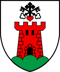
Embd
Origin of the name Embd
Recorded in 1250 as « Emeda » and in 1330 as « Embda » and « Emda ». The name is said to go back to Old High German « Amat », meaning the second hay cut, but this origin is not certain.[1]
Founding of Embd
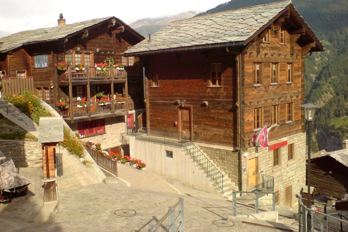
Embd climbs the very steep left slope of the lower St. Niklaus valley, between Kalpetran (850 m) on the valley floor and Fluh (1'358 m), which serves as its centre. In the Middle Ages it was the seat of the lords von Embda, subject to the cathedral chapter of Sion, who lived in the Rotigo tower. First part of the parish of Stalden, Embd separated from it to form its own parish. Long isolated, the village was linked to the valley floor by a goods cableway, later replaced by a passenger cable car, then by a road. Today most of its working population works in Visp and St. Niklaus.[1]
History of Embd
1211. First document mentioning the Rotigo tower, residence of the lords von Embda.[1]
1250. Recorded as « Emeda ».[1]
1330. Recorded as « Embda » and « Emda ».[1]
1771. Embd separates from the parish of Stalden and becomes a parish.[1]
1852. The Rotigo tower may still have been standing until this date.[1]
early 1930s. A goods cableway links the village with the valley floor.[1]
1945-1993. Green slab quartzite, known as Kalpetran quartzite, is quarried at the Wäng (dates uncertain).
1960. The present parish church is built.[1]
1983. The access road is built.[1]
2000. More than two thirds of the working population work outside the municipality, mainly in Visp and St. Niklaus.[1]
Population of Embd
Sources and references: [1][2]
| 1798 | 149 inhabitants |
| 1850 | 204 inhabitants |
| 1900 | 263 inhabitants |
| 1941 | 431 inhabitants |
| 1950 | 395 inhabitants |
| 1970 | 420 inhabitants |
| 2000 | 353 inhabitants |
| 2025 | 298 inhabitants |
Historic sites in Embd
Site of the Rotigo tower. Residence of the lords von Embda, subject to the cathedral chapter of Sion, first mentioned in 1211. The tower may have stood until 1852.[1]
Parish church. Present church of 1960, seat of the parish founded in 1771 after separation from Stalden.[1]
Kalpetran and Fluh. Kalpetran (850 m), on the valley floor, is linked to the Brig-Visp-Zermatt railway and to the village by cable car. Fluh (1'358 m) serves as the village centre.[1]
Sources
- Dizionario storico della Svizzera (version italienne du Dictionnaire historique de la Suisse), « Embd » (Edwin Pfaffen, trad. Valerio Ferloni, version du 17.10.2005)
- Office fédéral de la statistique (OFS), STATPOP, chiffres provisoires au 31.12.2025, via citypopulation.de
- geo.admin.ch, recherche de lieux (coordonnées)
Other villages near Embd
Missing information, or do you have a source? Suggest a correction or addition. Every submission is checked before it's published.
Suggest a change