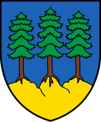
Grächen
Origin of the name Grächen
Early forms are « de Grachan » (1210) and « de Granges » (1250). Others are reported but not confirmed: « de Grangiis » (1295) and « Grenekun » (1307), as well as the dialect name « Greechu ». The meaning of the name is unknown.[1][4]
Founding of Grächen
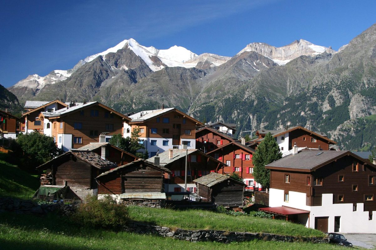
The village grew up on a terrace extending from the Ried glacier, on the edge of the Grächerwald forest, in the Vispa valley (Vispertal). Bronze Age tools and hunting and war objects, along with a Roman tomb, show that the site was occupied long before. For a long time Grächen belonged to the parish of Stalden and at first had only a chapel dedicated to Saint James. Potatoes, rye and barley were grown in an area counted among the driest in Valais and in the Alps: channels (bisses) distribute glacier water there. Later a road to the main valley allowed family tourism to develop in winter and summer.[1]
History of Grächen
Bronze Age. Tools and hunting and war objects attest a human presence.[1]
Roman period. A tomb from this period has been found.[1]
1210. First mention as « de Grachan ».[1]
1250. Mention as « de Granges ».[1]
1433. A chapel dedicated to Saint James is built.[1]
1499. Birth in Grächen, in 1499 or later, of Thomas Platter, son of the peasant Antonius and of Amilli Summermatter, who was a goatherd as a child.[3]
1572. Thomas Platter, by then a printer and schoolmaster in Basel, writes his autobiography for his son Felix. It is counted among the best of the 16th century.[3]
1582. Thomas Platter dies in Basel on 26 January.[3]
First half of the 17th century. Periods of extreme heat prevent the grain from ripening.[1]
17th century. The chapel of Saint James is abandoned after a new church is built.[1]
1750. Grächen separates from the parish of Stalden and becomes an independent parish.[1]
Second half of the 18th century. Snow, frost and storms destroy the crops. The population suffers great hardship.[1]
1935. The present church is built (date uncertain).
1953. A road is built linking the village to the main valley.[1]
1997. The Europaweg trail between Grächen and Zermatt is created.[8]
2003. About 400'000 overnight stays, 60 % of them in winter.[1]
Population of Grächen
Sources and references: [1][10]
| 1850 | 338 inhabitants |
| 1900 | 389 inhabitants |
| 1950 | 665 inhabitants |
| 2000 | 1'254 inhabitants |
| 2025 | 1'319 inhabitants |
Historic sites in Grächen
Ortsmuseum (local museum). Local museum housed in the former municipal building, presenting the life and work of the humanist Thomas Platter, the village's most famous son, a goatherd who became a printer and head of the Latin school in Basel.[3][9]
Irrigation channels of Grächen. Channels that distribute glacier water in one of the driest areas of Valais. Four channels bring water from the Ried glacier and stream: Bineri, Drieri, Chilcheri and Eggeri. The Eggeri, over six kilometres long, is the longest. The oldest is either the Eggeri or the Bineri, from the early 17th century.[1][5][6]
Grächen terrace and Grächerwald. Terrace extending from the Ried glacier, bordered by the Grächerwald forest, on which the resort developed.[1]
Hannigalp. Alpine pasture served by a gondola whose top station is at 2'114 m, a starting point for hikes.[7]
Europaweg. High-level trail linking Zermatt to Grächen via Gasenried.[8]
Remains in Grächen
Bronze Age finds and Roman tomb. Bronze Age tools and hunting and war objects, and a Roman tomb, discovered in the municipality, evidence of its early settlement.[1]
Sources
- Dictionnaire historique de la Suisse, « Grächen » (Rachel Siggen-Bruttin, version du 17.07.2007)
- Historisches Lexikon der Schweiz, « Grächen » (version allemande, 17.07.2007)
- Dictionnaire historique de la Suisse, « Platter, Thomas » (Edgar Bonjour, version du 28.09.2010)
- Tourist Office Grächen, brochure « Typisch Grächen & St. Niklaus » (formes anciennes du nom, Ortsmuseum, bisses)
- Grächen Tourismus, « Suonen hikes » (bisses Eggeri, Chilcheri, Drieri et Bineri)
- Suisse Tourisme (MySwitzerland), « Irrigation channels (Suonen) in Grächen »
- Suisse Tourisme (MySwitzerland), « Fairy tale cable car » (télécabine Grächen-Hannigalp)
- europaweg.ch, « The Europaweg between Grächen and Zermatt »
- museums.ch, « Ortsmuseum Grächen »
- Office fédéral de la statistique (OFS), STATPOP, chiffres provisoires au 31.12.2025, via citypopulation.de
- geo.admin.ch, recherche de lieux (coordonnées de Grächen)
Other villages near Grächen
Missing information, or do you have a source? Suggest a correction or addition. Every submission is checked before it's published.
Suggest a change