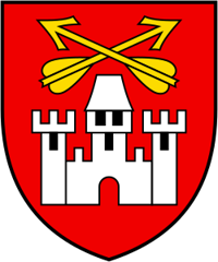
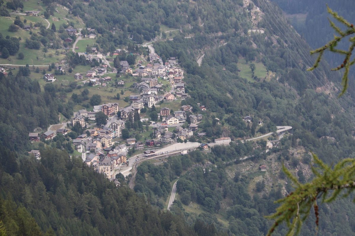
Finhaut
Origin of the name Finhaut
The village is first mentioned in 1293 in the form « Finyaux ». The name reportedly comes from Latin « fenile » (hayloft), derived from « fenum » (hay). In patois the municipality is reportedly called « Finyou ».[1]
Founding of Finhaut
Finhaut lies in the upper Trient valley, on the Franco-Swiss border. The municipality includes Finhaut, at 1'223 m altitude, Giétroz and Le Châtelard. Until 1798 Finhaut formed a quarter of the castellany of Salvan, a lordship of the abbey of Saint-Maurice. In 1323 the people of Finhaut and Salvan defeated Guillaume de Thoire at Emosson, securing possession of the alpine pastures, which the two communities disputed with the people of the Faucigny (Vallorcine, Chamonix). In 1649 Finhaut separated from Salvan, with which it had formed a single municipality, and became the seat of a mayoralty (métralie). The final division of property took place only in 1874. The economy long relied on livestock and alpine farming. The Vernayaz-Finhaut-Chamonix road (1855-1867), then the Martigny-Chamonix railway (1906) opened a period of tourist prosperity. The great dams of Barberine, Vieux-Emosson and Emosson later brought new life to the village.[1]
History of Finhaut
1293. First mention of Finhaut, in the form « Finyaux ».[1]
1323. The people of Finhaut and Salvan defeat Guillaume de Thoire at Emosson, securing possession of the alpine pastures.[1]
1638. Construction of the chapel of Notre-Dame de l'Assomption et Saint-Sébastien.[1]
1649. Finhaut separates from Salvan and becomes the seat of a mayoralty. The chapel becomes the parish church.[1]
1798. End of the castellany of Salvan, a lordship of the abbey of Saint-Maurice, of which Finhaut formed a quarter.[1]
1819. Seventeen inhabitants reportedly left for Brazil with the founders of Nova Friburgo.
1855-1867. Opening of the Vernayaz-Finhaut-Chamonix cantonal road.[1]
1874. Final division of property between Finhaut and Salvan.[1]
1906. Opening of the Martigny-Chamonix railway, which starts a period of tourist prosperity.[1]
1925. Completion of the Barberine dam.[1]
1928-1929. Construction of a new church.[1]
1955. Completion of the Vieux-Emosson dam.[1]
1968. A road links Finhaut to the international route over La Forclaz.[1]
1975. Completion of the Emosson dam.[1]
1976. Discovery of the Vieux-Emosson dinosaur tracks, as the snowfield covering them melts.[1][2]
1998. The track site is recognised as a geotope of national importance, after a cantonal protection decision of 1983.[2]
2016. On 20 July stage 17 of the Tour de France, starting from Bern, finishes at Finhaut-Emosson.[3]
Population of Finhaut
Sources and references: [1][4]
| 1798 | 347 |
| 1850 | 470 |
| 1900 | 433 |
| 1950 | 492 |
| 1970 | 681 |
| 2000 | 318 |
| 2025 | 418 |
Historic sites in Finhaut
Church of Notre-Dame de l'Assomption et Saint-Sébastien. Chapel built in 1638 that became the parish church in 1649, when Finhaut separated from Salvan. A new church was built in 1928-1929.[1]
Le Châtelard and Giétroz. Hamlets of the municipality near the French border. Le Châtelard is served by the Martigny-Chamonix line.
Barberine and Emosson dams. Three dams follow one another on the municipal territory: Barberine (1925), Vieux-Emosson (1955) and Emosson (1975). These works brought new life to the village after tourism declined.[1]
The Belle Époque village. Between 1860 and 1911 some twenty hotels and guesthouses were built in Finhaut. The architecture of this period is reportedly recognised as of national importance.
Remains in Finhaut
Vieux-Emosson dinosaur tracks. Tracks left by 5 to 9 species of dinosaurs more than 230 million years ago, on quartzite slabs at about 2'400 m altitude above the Vieux-Emosson lake. Discovered in 1976, they are protected by a cantonal decision of 1983 and were recognised as a geotope of national importance in 1998.[2]
Sources
- Dictionnaire historique de la Suisse, « Finhaut » (André Décaillet, version du 20.04.2006)
- État du Valais, sites naturels protégés, « Traces de dinosaures du Vieux-Emosson »
- Tour de France 2016, itinéraire horaire de la 17e étape Berne-Finhaut-Emosson (20.7.2016), document publié par la Ville de Berne
- Office fédéral de la statistique (OFS), STATPOP, chiffres provisoires au 31.12.2025, via citypopulation.de
- geo.admin.ch, recherche de lieux (coordonnées)
Localities of the municipality with a page
Other villages near Finhaut
Missing information, or do you have a source? Suggest a correction or addition. Every submission is checked before it's published.
Suggest a change