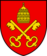
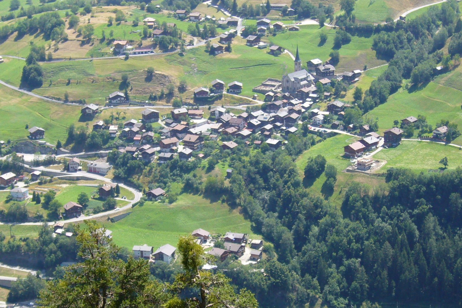
Grengiols
Origin of the name Grengiols
The name appears as « Graneirolis » in 1052, « Griniruel » in 1228 and « Graniols » in 1297. It probably comes from the Latin « graneirolas », « small granaries ».[1][2]
Founding of Grengiols
Grengiols lies on the southern slope of the Rhône valley at the Deisch valley step, at the entrance to the Goms. The municipality also has outlying hamlets such as Hockmatte, Ze Hyschere and Bächerhyschere. Bronze Age objects, Gallo-Roman graves and Roman coins have been found here, and the Schlosshubel still shows traces of a 12th-13th century tower. From the 11th century Grengiols was under Savoy and its vassals, the lords of Gradetsch and later those of Mörel. At the end of the 13th century the bishop of Sion created a mayoralty here, which the commune later bought back from private owners. A parish under the patronage of the Gradetsch is mentioned between 1189 and 1203. The village then belonged to the parish of Mörel, before becoming a rectorate that was in fact a parish. On the old route to the Goms and the Albrun, Grengiols was regarded as the granary of the district. The fire of 1799 and the building of the valley road in the 19th century shaped its history.[1]
History of Grengiols
Bronze Age. First traces: Bronze Age finds; later Gallo-Roman graves and Roman coins.[1]
11th century. Grengiols is under Savoy and its vassals, the lords of Gradetsch and later those of Mörel.[1]
1052. First mention as « Graneirolis ».[1][2]
1189-1203. A parish under the patronage of the lords of Gradetsch is mentioned.[1]
12th-13th century. A tower stands on the Schlosshubel; its traces survive.[1]
1228. The name appears as « Griniruel ».[1]
1297. Form « Graniols ».[1]
Late 13th century. The bishop of Sion creates a mayoralty, bought back by the commune in the 16th and 17th centuries.[1]
around 1430. Together with Bister, Grengiols forms one third of the community of Mörel-Grengiols (today Östlich Raron).[1]
1634. Creation of a rectorate that functions in fact as a parish.[1]
1668. Construction of the parish house.[1]
1717-1718. Construction of a decorated wooden house with open galleries on the new village square.[2]
1799. Retreating Austrian troops set fire to the church and village: 42 houses and 88 farm buildings are destroyed.[1][2]
1800-1803. Rebuilding of the parish church of St Peter, incorporating the burnt ruins.[1]
around 1810. The rebuilding of the village in wood is largely complete, mostly by carpenters from Niederwald.[2]
Mid-19th century. Many families emigrate, mainly to Argentina.[1]
1888. An avalanche destroys part of the village.
1904. In April an avalanche destroys the hamlet of Milibach.[1]
1913-1915. Construction of the present neo-Romanesque church to plans by Adolf Gaudy.[1][2]
1914. The Furka-Oberalp railway now serves the village. The date is uncertain: 1914 (or 1915).[1][2]
1945. The botanist Eduard Thommen recognises the Grengiols tulip as a distinct species.
1963-1964. Construction of an access road.[1][2]
around 1970. Start of moderate tourism, notably with the Eggelti holiday village (begun in 1976).[1][2]
1993. Pro Natura buys three plots of tulip fields, placed under protection by the canton the following year.
Population of Grengiols
Sources and references: [1][2][4]
| 1799 | 313 inhabitants |
| 1850 | 435 inhabitants |
| 1900 | 555 inhabitants |
| 1950 | 565 inhabitants |
| 2000 | 491 inhabitants |
| 2025 | 408 inhabitants |
Historic sites in Grengiols
Parish church of St Peter. A church with a cemetery is mentioned in the 13th century. Probably rebuilt in the early 16th century, burnt in 1799 and rebuilt in 1800-1803, it was replaced by the present neo-Romanesque church (1913-1915, Adolf Gaudy, consecrated in 1915). The tower partly dates from before the fire.[1][2]
Parish house. Built in 1668.[1]
Grengiols tulip fields. The Grengiols tulip (Tulipa grengiolensis), bright yellow, more rarely red-edged or entirely red, grows wild only at Grengiols, in winter rye fields. It probably arrived in the Middle Ages, perhaps through trade over the Albrun Pass, and was known locally as « Römertulpe ». Threatened from the 1960s, it has been protected since Pro Natura bought plots in 1993.
House of 1717-1718. Decorated wooden house with open galleries on the new village square.[2]
Hamlet of Bächerhäusern. Outlying hamlet of the municipality, listed in ISOS as a hamlet of regional importance.[2]
Remains in Grengiols
Traces of the Schlosshubel tower. On the mound known as the Schlosshubel, traces of a 12th-13th century tower survive.[1]
Gallo-Roman graves and Roman coins. Gallo-Roman graves and Roman coins have been found, as well as Bronze Age objects.[1]
Buildings older than the 1799 fire. Four houses, a granary and part of the church tower survived the 1799 fire.[2]
Sources
- Historisches Lexikon der Schweiz, « Grengiols » (Philipp Kalbermatter, version du 29.12.2008, version allemande)
- Inventaire fédéral des sites construits à protéger en Suisse (ISOS), « Grengiols », n° 4966, 2e version, mars 1998
- Beobachter, « Wallis: Die Kult-Tulpe » (Martin Müller, 27.04.2015)
- Office fédéral de la statistique (OFS), STATPOP, chiffres provisoires au 31.12.2025, via citypopulation.de
- geo.admin.ch, recherche de lieux (coordonnées)
Other villages near Grengiols
Missing information, or do you have a source? Suggest a correction or addition. Every submission is checked before it's published.
Suggest a change