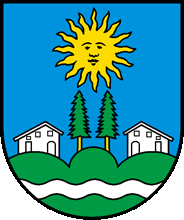
Montmelon
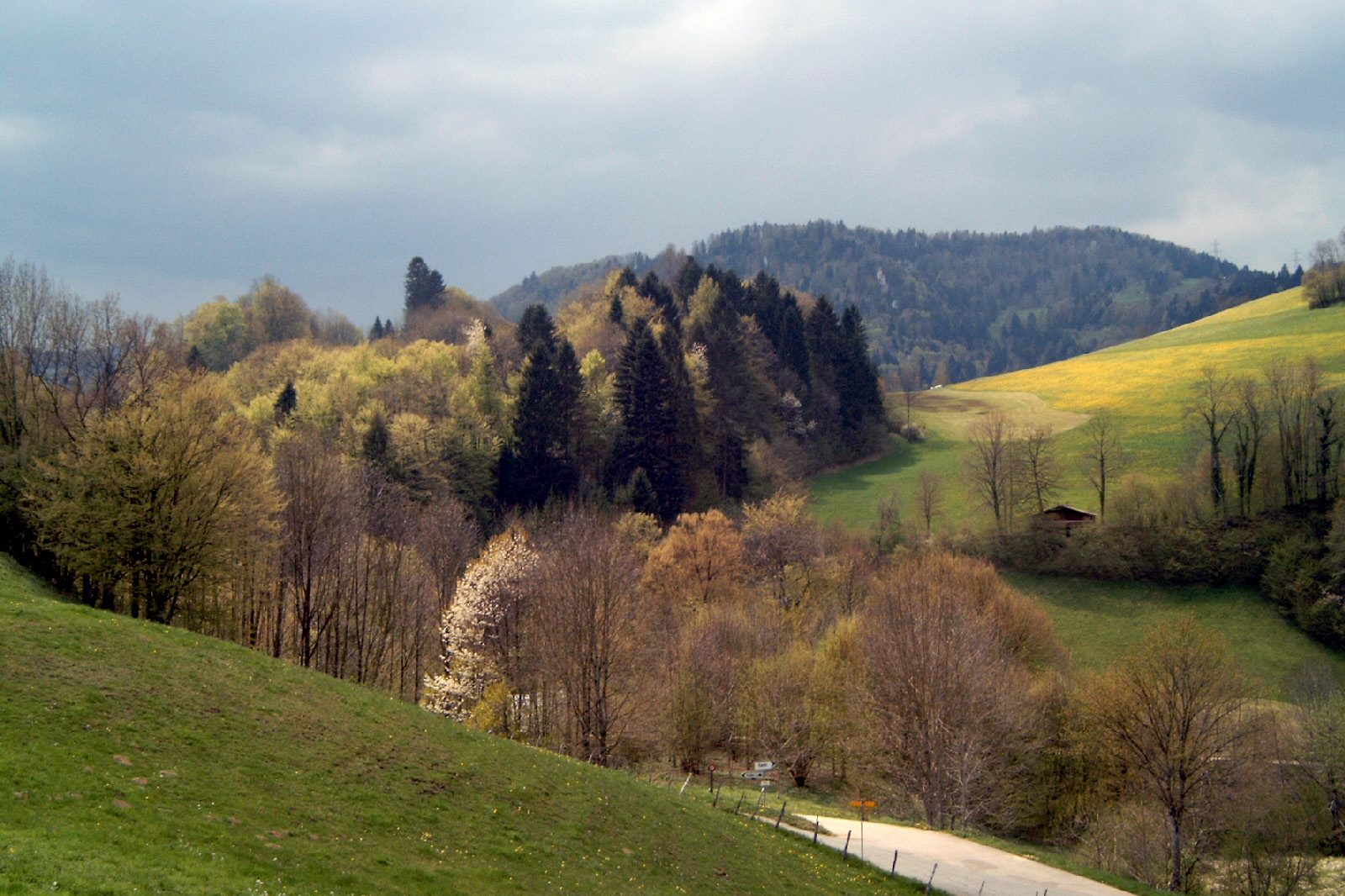
Origin of the name Montmelon
The place is first mentioned in 1373 as « Momolon ».[1]
Founding of Montmelon
Neither the date nor the founder of Montmelon is known. The locality was a small lordship (courtine) of the chapter of Saint-Ursanne, which owned four colonges there, and belonged to the provostry of Saint-Ursanne in the Prince-Bishopric of Basel. Under the Ancien Régime its inhabitants were bound to Saint-Ursanne by a co-burghership treaty, and the parish was always that of Saint-Ursanne. Destroyed by the Swedes in 1637, abandoned and resettled at the end of the 17th century, Montmelon is now part of the municipality of Clos du Doubs (merger of 1 January 2009).[1]
History of Montmelon
1373. First mention, as « Momolon ».[1]
Middle Ages. Montmelon is a small lordship (courtine) of the chapter of Saint-Ursanne, which owns four colonges there. The locality belongs to the provostry of Saint-Ursanne.[1]
Ancien Régime. The inhabitants are bound to Saint-Ursanne by a co-burghership treaty.[1]
1637. During the Thirty Years' War the village is destroyed by the Swedes and then abandoned.[1]
Late 17th century. Montmelon is resettled.[1]
1793-1813. The locality belongs to the French departments of Mont-Terrible, then Haut-Rhin.[1]
1815-1978. Montmelon belongs to the canton of Bern (bailiwick, then Porrentruy district).[1]
1836. Montmelon becomes a mixed municipality.[1]
1877. Opening of the Glovelier-Porrentruy railway. The northern portal of the Mont-Russelin tunnel reportedly lies near Montmelon-Dessous.
1979. Montmelon joins the new canton of Jura.
1998. Opening of the first section of the A16 motorway, whose Mont-Russelin and Mont-Terri tunnels reportedly run beneath the municipal territory.
2009. On 1 January, Montmelon merges with Epauvillers, Epiquerez, Montenol, Ocourt, Saint-Ursanne and Seleute to form the municipality of Clos du Doubs.[1]
Population of Montmelon
Sources and references: [1]
| 1818 | 244 |
| 1850 | 246 |
| 1900 | 212 |
| 1950 | 167 |
| 2000 | 92 |
| 2008 | 100 |
Historic sites in Montmelon
Montmelon-Dessous, Montmelon-Dessus and Ravines. Hamlets on a meander of the Doubs, south of Saint-Ursanne. On the former municipality's territory, the isolated farm of Chez Danville, built in 1569 (one of the earliest dates known on a Jura farmhouse) and altered in 1774, is a cultural property of regional significance.[1][3]
Sur-la-Croix and Outremont. Parts of the former municipality on the southern slope of the Lomont, north of Saint-Ursanne. The Col de la Croix (789 m) links the Clos du Doubs with Ajoie.[1]
Fragmented territory. The former municipality included numerous enclaves and isolated farms scattered on both sides of Saint-Ursanne.[1]
Remains in Montmelon
Menhir of the Roc de l'Autel. A prehistoric menhir reportedly stands on the Roc de l'Autel, west of La Caquerelle.
Sources
- Dictionnaire historique de la Suisse, « Montmelon » (Dominique Prongué), version italienne du 18.05.2020
- geo.admin.ch (swisstopo), recherche de lieux « Montmelon »
- Office fédéral de la protection de la population (OFPP), Inventaire PBC, liste cantonale du canton du Jura (état au 1.1.2026)
- Inventaire PBC (OFPP), fiche KGS 10078 « Ferme (Montmelon, Chez Danville) », texte de la Société d'histoire de l'art en Suisse (Guide artistique de la Suisse)
Other villages near Montmelon
Missing information, or do you have a source? Suggest a correction or addition. Every submission is checked before it's published.
Suggest a change