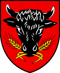
Mörel
Origin of the name Mörel
The village appears in 1203 as « Morgi ». No explanation has yet been found for this name.[1]
Founding of Mörel
The territory of Mörel forms a narrow strip on the right bank of the Rhône. The village stands on the alluvial fan of a torrent that regularly burst its banks until it was dammed in 1846. In the first half of the 11th century, the county of Mörel, between the Deischbach and the Massa, was a Savoyard lordship: one part probably went to Bishop Aimo of Savoy, another was bequeathed by Count Ulrich of Lenzburg. First administered by the lords of Granges, the fief passed by 1224 at the latest to the bishops of Sion, then to the lords of Mörel, probably descended from the counts of Castello-Crollamonte in northern Italy. Their castles of Mancapan (Mangepan) and Dirrenberg were destroyed in 1260 by Count Peter II of Savoy, for unknown reasons, and in 1261 Count Conrad II of Mörel sold his rights to Bishop Henry of Raron. Bishop Boniface of Challant made Mörel a mayoralty. The communities of the area, formed in the 14th and 15th centuries, bought its two halves in 1452 and 1568. The tithing of Mörel, mentioned in 1446, later became the third of Mörel or upper third of the tithing of Raron. The parish of Mörel, attested from 1189 to 1203, originally covered the core of the county. The first municipal statutes date from 1515. After 1815, Mörel was the capital of the half-district of Östlich Raron until the merger. A mainly rural village living from livestock, Mörel became the gateway to the Aletsch region with the Riederalp cable car. Mörel is now in the municipality of Mörel-Filet (merger of 1 January 2009 with Filet).[1][2]
History of Mörel
11th century. In the first half of the century, the county of Mörel, between the Deischbach and the Massa, is a Savoyard lordship.[1]
1189-1203. The parish of Mörel is attested.[1]
1203. First mention as « Morgi ».[1]
1224. By this date at the latest, the fief passes to the bishops of Sion.[1]
1260. Count Peter II of Savoy has the castles of Mancapan and Dirrenberg, residences of the lords of Mörel, destroyed.[1]
1261. Count Conrad II of Mörel sells his rights to Bishop Henry of Raron.[1]
1301. First mention of Jakob Buos, a commoner to whom Bishop Boniface of Challant entrusted the mayoralty of Mörel.[1]
1348. Bishop Guichard Tavel pays homage to the count of Savoy for Mörel for the last time.[1]
1421. The office of mayor is split between two holders with equal rights. From 1441 they hold it in alternate years.[1]
1446. Mention of the tithing (« desenus ») of Mörel.[1]
1452 and 1568. The communities of Mörel, Bitsch, Ried-Mörel, Greich, Goppisberg, Betten, Filet, Bister and Grengiols buy the two halves of the office of mayor.[1]
1515. First municipal statutes.[1]
1527-1547. Ulrich Ruffiner remodels St Hilary's church in Gothic style.[1]
1726-1731. Construction of the Baroque chapel Zu den Hohen Flühen, on the road to Bitsch.[1]
1798. The third of Mörel is divided between the districts of Goms and Brig. In 1802 it returns to the tithing of Raron.[1]
1799. In early June, Mörel is plundered by the French.[1]
1815. Definitive attachment to the district of Raron as a half-district, called Östlich Raron from 1844.[1]
1846. Damming of the torrent that regularly burst its banks.[1]
1950-1953. Construction of the Riederalp cable car (new installation in 1976). Mörel becomes the gateway to the Aletsch region.[1]
2009. On 1 January, merger with Filet into the new municipality of Mörel-Filet.[1][2]
Population of Mörel
Sources and references: [1]
| 1850 | 210 inhabitants |
| 1900 | 327 inhabitants |
| 1950 | 433 inhabitants |
| 1980 | 541 inhabitants |
| 2000 | 524 inhabitants |
Historic sites in Mörel
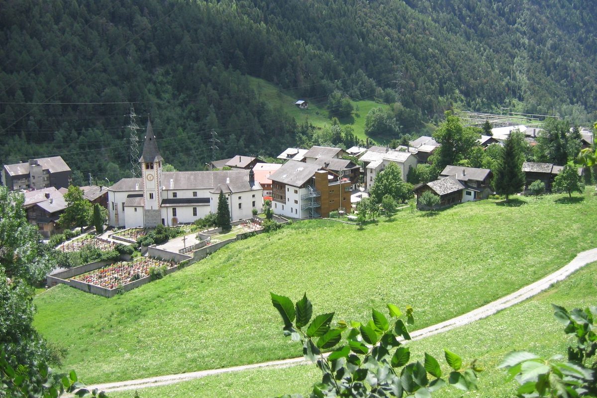
St Hilary's church. 13th-century church, remodelled in Gothic style by Ulrich Ruffiner in 1527-1547, then in Baroque style in the 18th century. At the beginning of the 21st century the parish comprises Mörel, Bitsch, Greich, Goppisberg, Filet and Bister. Ried separated from it in 1904 and Betten in 1910.[1]
Chapel Zu den Hohen Flühen. Baroque chapel built between 1726 and 1731 at the place called Zu den Hohen Flühen, on the road to Bitsch.[1]
Riederalp cable car. The Riederalp, opened to tourism in 1854, first gave work to the muleteers of Mörel. The cable car built in 1950-1953 and renewed in 1976 made the village the gateway to the Aletsch region.[1]
Breiten. Spa resort above the village, opened in 1965 and then gradually developed.[1]
Sources
- Dictionnaire historique de la Suisse, « Mörel » (Arthur Fibicher, trad. Monique Baud-Wartmann, version du 04.01.2017)
- Office fédéral de la statistique, Répertoire officiel des communes, mutation n° 2758 (01.01.2009)
- geo.admin.ch, recherche de lieux (coordonnées)
Other villages near Mörel
Missing information, or do you have a source? Suggest a correction or addition. Every submission is checked before it's published.
Suggest a change