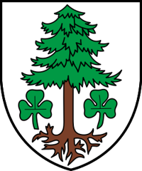
Staldenried
Origin of the name Staldenried
The name appears in 1389 as « am ryede », then in 1638 as « Stalden Riedt ». Its origin is not explained.[1]
Founding of Staldenried
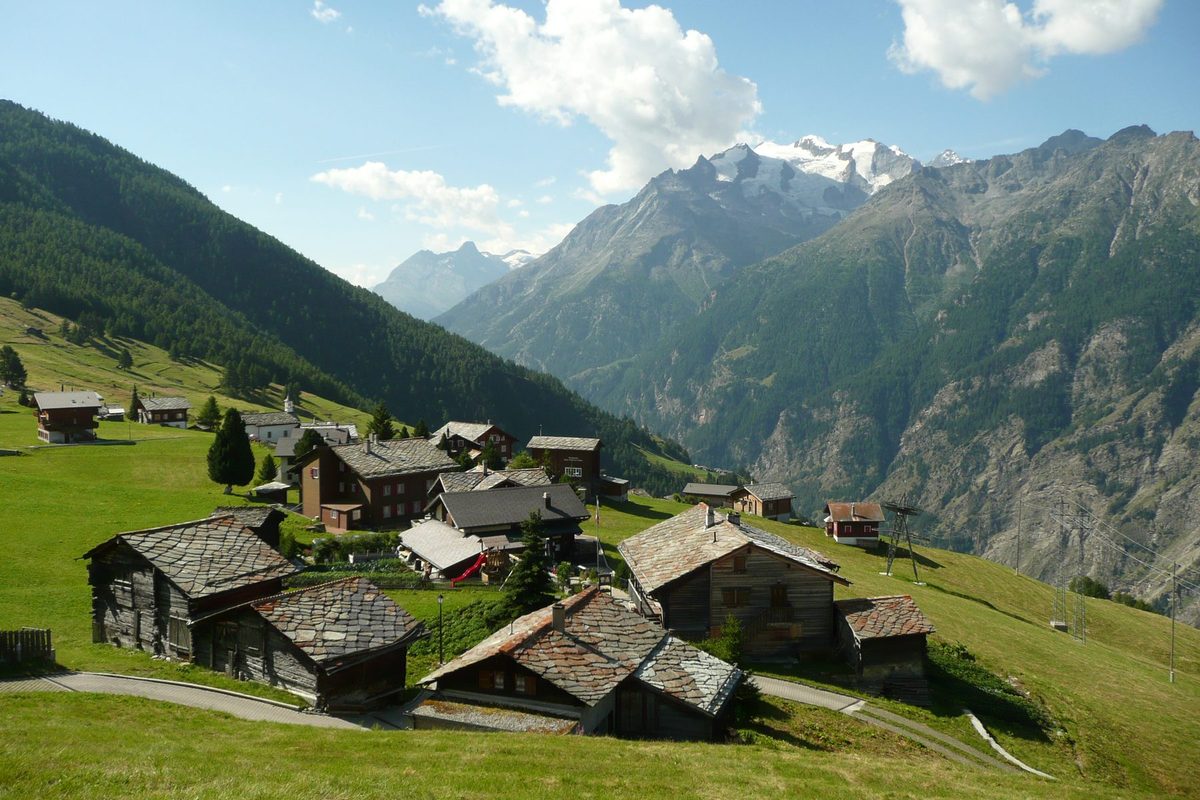
Staldenried is not a compact village but a scattered settlement of Alemannic origin on the eastern slope of the Visp valley above Stalden. The municipality has more than twenty hamlets, including Gspon, Zur Kirche and Zur Tanne. Four of them, Ried, Gspon, Kleeboden and Finilen, adopted a common statute in 1548, supplemented at the end of the same century, which governed inheritance, access to burghership, grazing, the use of timber and the use of water. In church matters the place first depended on Visp, then on Stalden, before becoming a parish.[1]
History of Staldenried
1389. Recorded as « am ryede ».[1]
1535. The village, until then attached to Visp, now depends on the parish of Stalden.[1]
1548. The hamlets of Ried, Gspon, Kleeboden and Finilen adopt a common statute.[1]
1587 and 1588. The common statute is supplemented.[1]
1638. Recorded as « Stalden Riedt ».[1]
1869. Staldenried becomes a parish.[1]
1950. A cable car links Staldenried with Gspon.[1]
1951. A cable car links Staldenried with Stalden.[1]
1960. The new parish church, designed by Felix Grünwald, is built.[1]
1980-1982. Land consolidation, followed by the building of a road down to the valley.[1]
2000. 79 % of the working population works elsewhere, mainly at the Lonza plant in Visp. Many farm part-time (vines, goats, sheep, milk).[1]
Population of Staldenried
Sources and references: [1][3]
| 1802 | 186 inhabitants |
| 1850 | 201 inhabitants |
| 1900 | 284 inhabitants |
| 1950 | 446 inhabitants |
| 2000 | 554 inhabitants |
| 2025 | 558 inhabitants |
Historic sites in Staldenried
Parish church. New parish church of 1960, designed by Felix Grünwald, nearly a century after the parish was founded in 1869.[1]
Gspon. Hamlet at 1'893 m, part of the common statute of 1548, linked to Staldenried by cable car since 1950. A 1991 publication is devoted to its St. Anne's chapel. It has a football pitch described as the highest in Europe.[1][2]
Zur Kirche and Zur Tanne. Two of the main hamlets of the municipality. Zur Kirche is reportedly its religious centre and Zur Tanne its civic centre.
Sources
- Dictionnaire historique de la Suisse, « Staldenried » (Bernard Truffer, trad. Florence Piguet, version du 16.02.2012)
- Sky Sport, « Svizzera, a Gspon il campo da calcio più alto d'Europa: si gioca a 2000 metri » (14.10.2019)
- Office fédéral de la statistique (OFS), STATPOP, chiffres provisoires au 31.12.2025, via citypopulation.de
- geo.admin.ch, recherche de lieux (coordonnées)
Other villages near Staldenried
Missing information, or do you have a source? Suggest a correction or addition. Every submission is checked before it's published.
Suggest a change